
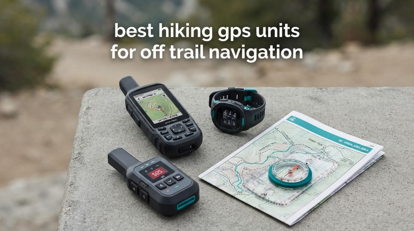
There is a specific moment on an off-trail route when a phone stops being useful. You are three miles past the last drainage crossing, the sky is a grey lid, and the trees are thick enough that the position dot has been drifting for twenty minutes while the map app ate a third of the battery. No trail, no waypoint, no cell bar, and the map on screen is a guess dressed up as information. This is the situation that decides which of the best hiking GPS units for off trail navigation is worth the weight in your pack.
Over the past two seasons our team has carried a spread of dedicated handheld units and satellite communicators on bushwhack routes in the Pacific Northwest, desert slot canyons, and northern winter forest where gloves never come off. We ranked them on the things that actually break down when you are away from a trail: how fast they acquire satellites under canopy, whether they hold a fix or wander, how the controls behave with wet or frozen hands, and how long they last when tracking is running all day.
This roundup covers ten units, from a 3.1 ounce wrist receiver to a 3 inch multi-band handheld. The honest headline is that off-trail work splits the category in two. Most of these devices are single-band or basic high-sensitivity receivers, and a handful use multi-band GNSS that keeps working in the exact terrain where the others stall. A second group does not navigate at all, it transmits, and that distinction matters more than most buyers expect. We have also leaned on our broader coverage of handheld GPS units and GPS watches for backcountry navigation for the side-by-side context.
One safety note before we start. A handheld GPS is a tool, not a replacement for judgment. Carry a paper map and a compass, know how to use them, and never treat a position dot as confirmation that you are where you think you are.
Table of Contents
Top 3 Picks for Off-Trail Navigation in 2026

The Foretrex 401 wins this list because it does the one job that matters most off-trail, holding a signal in bad cover, and then does almost nothing to get in your way. The inReach Explorer+ earns its spot as the only device here that pairs real topographic routing with satellite messaging. The inReach Mini 2 is the safety tool you carry when you are alone and the trip is long.
best hiking gps units for off trail navigation (October 2026)
| Product | Specifications | Action |
|---|---|---|
 Garmin Foretrex 401 Garmin Foretrex 401 |
|
Check Latest Price |
 Garmin eTrex 22x Garmin eTrex 22x |
|
Check Latest Price |
 Garmin inReach Mini 2 Garmin inReach Mini 2 |
|
Check Latest Price |
 Garmin eTrex 10 Garmin eTrex 10 |
|
Check Latest Price |
 ZOLEO Satellite Communicator ZOLEO Satellite Communicator |
|
Check Latest Price |
| Garmin inReach Explorer+ |
|
Check Latest Price |
 Garmin GPSMAP 64st Garmin GPSMAP 64st |
|
Check Latest Price |
 Garmin inReach Messenger Garmin inReach Messenger |
|
Check Latest Price |
 Garmin GPSMAP 62St Garmin GPSMAP 62St |
|
Check Latest Price |
 Garmin GPSMAP 66sr Garmin GPSMAP 66sr |
|
Check Latest Price |
Every unit below is in the table above, and each review tells you where it holds up and where it will disappoint you. The order runs from the lightest receiver to the most capable mapping handheld, with the communicators placed where they make sense in a pack.
1. Garmin Foretrex 401 – The Lightest Unit That Holds a Lock in Bad Cover
Garmin Foretrex 401 Waterproof Hiking GPS
3.1 ounces
HotFix GPS receiver
17 hours on 2 AAA
Electronic compass and altimeter
Pros
- HotFix sensitivity holds reception in heavy tree cover and canyons
- TracBack retraces your path on the LCD
- Only 3.1 ounces so it works on a wrist or a pack strap
- Compass and barometric altimeter built in
Cons
- Very small 100 x 64 monochrome display
- AAA cells limit it to about 17 hours of GPS use
- No detailed topographic maps beyond the base map
This is the unit I end up carrying when the route is genuinely off-trail and the pack weight matters. At 3.1 ounces it is effectively free, and clipping it to a shoulder strap or a chest harness means it is in my hand before I have finished deciding to check the map.
The HotFix receiver is the reason it earns the top spot. HotFix stores recent satellite positions and uses them to narrow the initial search, which means the time-to-first-fix is short and, more importantly, the receiver keeps a working fix under canopy instead of holding the last known position and pretending that is where you are. On a wet morning in second-growth fir with no sky view at all, it was the unit that still moved its position dot steadily.
TracBack is the feature I use most. Start a track, walk three unmaintained miles downhill, and TracBack reverses the line back to the start and walks you out on the same ground you came in on. For off-trail work, retracing is almost always safer than trying to shortcut across terrain you have never seen.
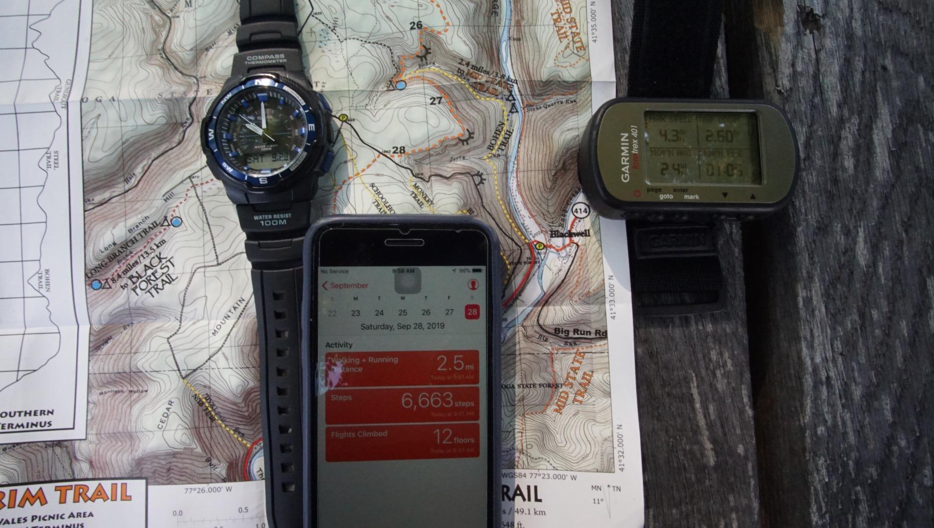
What you give up for that weight is the screen. It is 100 by 64 pixels in monochrome, roughly a postage stamp of usable map area, and reading terrain shape off it is a memory test rather than a visual one. Owners consistently accept this in exchange for the durability and signal behaviour, which is the right trade if your navigation plan is track, retrace, and check elevation rather than read contours in real time.
The other constraint is power. Two AAA cells give roughly 17 hours in GPS mode, which is a long day but not a multi-day trip. Lithium AAAs stretch that, and for the same reason the AAA format is less common in the backcountry than the lithium cells most people carry. Plan on carrying spare cells or accept that this is a day unit.
There is no detailed topographic map on board. It stores routes, tracks, and waypoints, and it will hold waypoints along a track, but the basemap is not something you would cross complex terrain with. If you are going somewhere genuinely unknown, load a track beforehand rather than relying on the built-in map.
When the Foretrex 401 is the right call
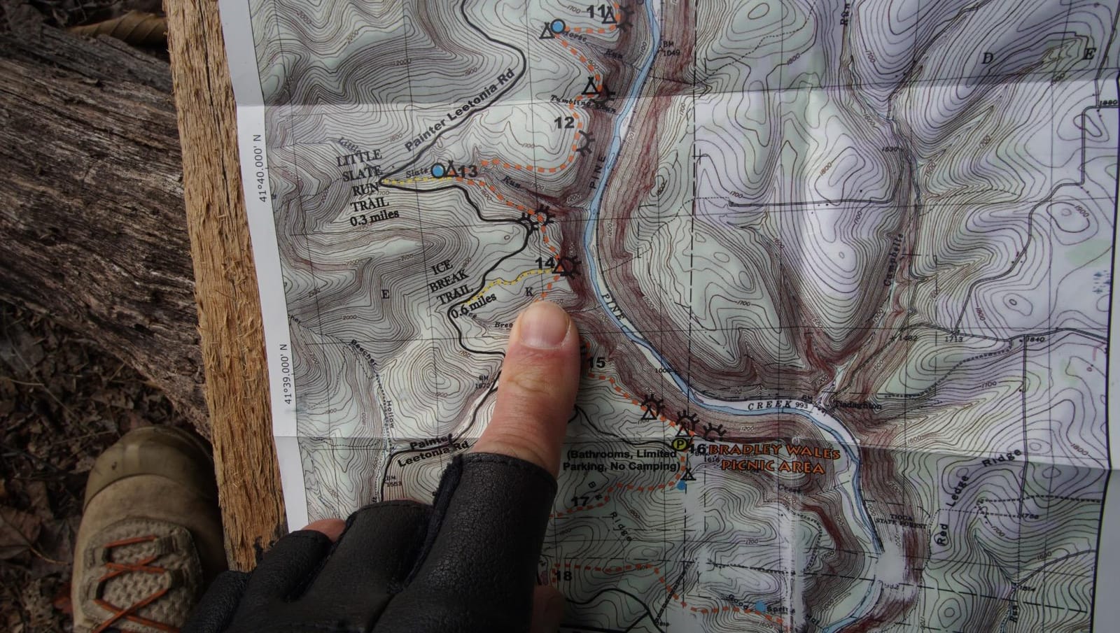
It is the right call when every gram counts, when you are following a track you set yourself, and when the backup role matters more than the primary role. An ultralight thru-hike, a fast solo push, a day of ridge wandering with clear lines of sight and no need to read terrain, all suit it well.
It is also the honest choice as a second device. Owners frequently run one of these as a backup for a phone-based primary, which gives you a working position if the phone dies, cracks, or gets wet.
When the Foretrex 401 is the wrong call
Skip it if your navigation depends on reading a map, following named terrain, or working through a two-week trip on one charge. A 17 hour AAA budget and a postage-stamp display will frustrate anyone who wants to see the shape of the ground.
It is also not a safety device. There is no messaging, no SOS, and no subscription option, so if you are solo in genuinely remote country it should be a companion to a communicator rather than a replacement for one.
2. Garmin eTrex 22x – Routable Topographic Maps Without the Satellite Messenger Cost
Garmin 010-02256-00 eTrex 22x, Rugged Handheld GPS Navigator, Black/Navy
2.2 inch color screen
Preloaded routable TopoActive maps
25 hours on 2 AA
8 GB plus microSD
Pros
- Routable topographic maps preloaded with no download step
- GPS plus GLONASS improves lock in rough terrain
- 25 hours on two AA cells
- MicroSD slot for regional map detail
Cons
- Small 2.2 inch screen for detailed map reading
- No touchscreen so data entry is slow
- No satellite communication of any kind
For most off-trail hikers this is the unit I recommend first, and the reason is simple: it is a proper map navigator that arrives with routable topographic data already on it. No account, no desktop software, no first-trip evening spent loading tiles before the trip.
The screen is a 2.2 inch sunlight-readable color display at 240 by 320 resolution. That is not a large canvas, but it is sharp enough to pick out drainage lines and contour spacing at arm’s length, and transflective-style color panels stay readable in direct sun in a way that a glossy phone screen does not. You will read it standing still, not while walking, which is the right way to move through terrain anyway.
Battery life is the quiet headline. Twenty-five hours in GPS mode from two AA cells means most two and three day trips happen without a battery thought, and lithium AAs roughly double that. The button interface is also the least glamorous feature and one of the best: it works with wet hands, with gloves, and in the cold without you ever having to swipe anything.
GPS plus GLONASS support is what separates this from the older budget units. Using two constellations means more satellites in view at once, and more satellites visible means faster acquisition and a position that holds better under partial canopy. It is not multi-band, and it will still drift in a deep canyon, but it is a meaningful step up from a single-constellation receiver.
Memory is generous for the price tier. Eight gigabytes of internal storage covers a full regional map set, and the microSD slot lets you carry a second region or a detailed cache layer without giving anything up. That matters on a route that crosses a boundary between two mapping areas.
What to check before buying the eTrex 22x
Check the screen size against your eyesight and your typical reading conditions. Two point two inches is fine for a competent map reader standing still, and small for anyone who squints or works in fading light. Owners who upgrade later usually upgrade for the screen, not the navigation.
Also decide how you will get routes and tracks onto it. The button interface means data entry is slow, so plan on managing files on a computer rather than typing your way through a route on a trailhead bench.
Where the eTrex 22x falls short
It cannot talk to anyone. No messaging, no check-ins, no SOS, and no way to share your position with anyone at home. For a weekend in a well-known backcountry that is a perfectly reasonable omission.
For solo travel far from other hikers, the missing emergency capability is a real gap, and one that a small satellite communicator can close without replacing the map function.
3. Garmin inReach Mini 2 – The Safety Device for Long Solo Trips
Garmin inReach® Mini 2, Satellite Communicator, Orange
99 g body
Two-way satellite messaging
Interactive SOS
14 days in tracking mode
Pros
- Compact 99 g body clips anywhere without taking pack space
- Reliable two-way Iridium messaging and interactive SOS
- Physical buttons work in gloves and rough conditions
- Multi-day battery in tracking mode
- TracBack and coordinate sharing included
Cons
- Very small 1.27 inch monochrome screen
- Active satellite subscription required for messaging and SOS
- Typing custom messages on device is slow
When I am going solo for four days or more, this is the device I add to a pack that already has a navigator. It does not do maps, and I have made peace with that, because the thing it does is the thing a phone cannot do once it is out of coverage with a flat battery.
Two-way satellite messaging and an interactive SOS button reach a 24/7 monitoring centre over the Iridium network, which means someone answers when you press it. Interactive SOS is more than a distress ping: responders can message you back and ask questions, and in a real emergency that back channel is worth more than the alert itself.
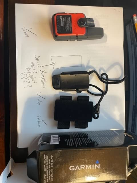
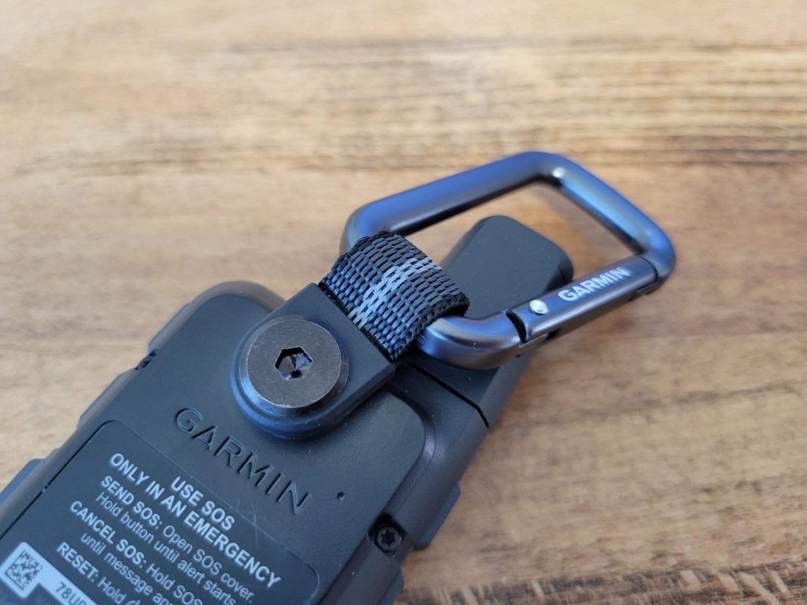
It weighs 99 grams, which is roughly the weight of a full water bottle cap, and it pairs with Garmin handhelds and wearables so you can fire an SOS from a device already on your wrist. TracBack gives you a route home to your start, and location sharing through a MapShare page or coordinates embedded in a message works even when you are not in a hurry.
The subscription is the part people should think about before buying, not after. Messaging and SOS both require an active satellite plan, so the purchase is really the first month of a recurring cost. For someone who takes four or five serious trips a year, that maths usually works out. For an occasional weekend hiker, it is harder to justify on this device alone.
Battery life is listed at up to 14 days in 10-minute tracking mode, and reviewers report that real-world results fall short of that in some conditions. Treat the figure as a ceiling rather than a promise, and check in on the conservative schedule rather than the advertised one.
The 1.27 inch monochrome display is genuinely too small for map work. It shows a position, a heading from the digital compass, and message text, and that is the extent of it. Owners describe the menu structure and documentation as confusing during setup, so budget an evening with it before you need it in a hurry.
When the inReach Mini 2 earns its place
It earns its place on solo multi-day trips, hunting and fishing trips out of coverage, and any itinerary where the consequence of being unreachable is high. Carry it clipped outside your pack so it is reachable without unpacking.
It is also the right pairing device for anyone who already navigates on a phone with offline maps. The phone keeps the maps, the communicator keeps the voice line open.
When it is the wrong choice
It is the wrong choice for primary navigation. There are no topographic maps, no routing, and no breadcrumb trail on a screen you would want to read. Pair it with a navigator rather than choosing it over one.
It is also the wrong choice if you will not keep an active plan. A deactivated device is a very small paperweight, and the safety capability you paid for stops working the day the plan lapses.
4. Garmin eTrex 10 – The Cheapest Navigator That Still Does Its Job
Garmin 010-00970-00 eTrex 10 Worldwide Handheld GPS Navigator
2.2 inch monochrome LCD
Worldwide basemap
IPX7 waterproof
20 hours on 2 AA
Pros
- Worldwide basemap preloaded with no download step
- IPX7 waterproof for rain and creek crossings
- WAAS plus HotFix and GLONASS for fast reliable fixes
- 5 ounces and 20 hours on two AA cells
Cons
- 128 by 160 monochrome screen is hard to read on trail
- Only 6 MB of memory with no way to load topographic maps
- No satellite communication
This is the unit I hand to people who want a navigator as a genuine backup and refuse to spend real money on one. It has the highest review count of anything in this roundup by a wide margin, and the reason is that it does one simple thing for years without drama.
WAAS with HotFix and GLONASS support is a more capable receiver stack than the price suggests. HotFix shortens the acquisition time by predicting where the satellites should be, GLONASS adds a second constellation for satellite count, and together they produce a fast, steady fix in far more places than a bare-bones single-band receiver manages.
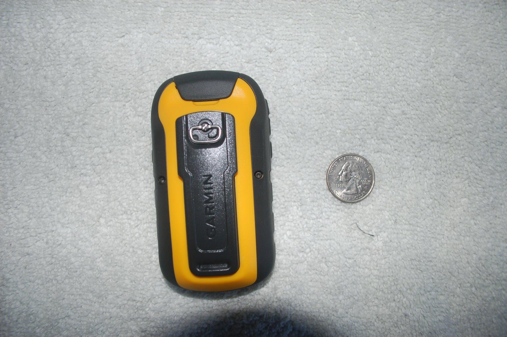
At five ounces with a 20 hour battery on two AA cells, it disappears into a pack, and the IPX7 rating means a creek crossing or a downpour is not an event. The button interface takes a little getting used to but then becomes automatic, and it is the most reliable control scheme for cold wet hands of anything in this list.
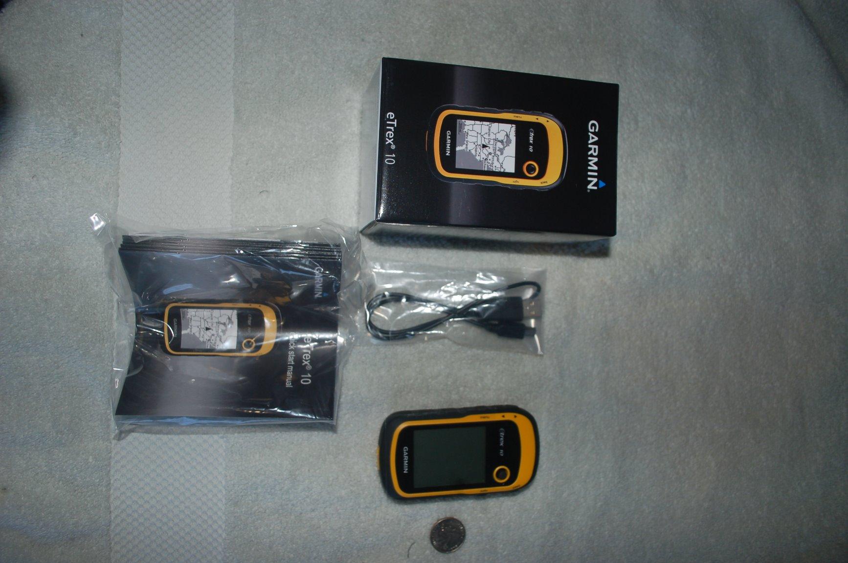
The limitation that defines this device is memory. Six megabytes of internal storage means a basemap and almost nothing else, and there is no card slot to expand it. You cannot load the detailed topographic data that off-trail navigation depends on, which makes this a follow-a-track-and-waypoint device rather than one you read terrain from.
The 128 by 160 monochrome screen reinforces that. It is legible, backlit, and completely uninspiring, and you will be reading numbers and bearings on it rather than terrain. For a planned route that is fine. For improvising across unfamiliar ground it is a limitation you will feel.
Paperless geocaching support comes standard, which is worth knowing if that is part of why you want a GPS at all. Geocachers running this as a dedicated cache-finder will find the workflow familiar and the ruggedness appropriate.
Why the eTrex 10 makes sense
It makes sense as a cheap, always-present backup. A phone dies, this does not. It also suits day hiking on known routes where you only need to confirm you are on the line you planned.
For anyone buying a first satellite navigator on a strict budget, the cost difference between this and the units above buys you years of proven reliability rather than features.
Why it will not satisfy you
Do not buy it for off-trail navigation through unfamiliar terrain. Without topographic detail, the device cannot tell you what the ground is doing, and that is the specific job this roundup exists to solve.
Add the small screen, the dated desktop workflow, and the absence of any wireless connectivity, and it becomes clear this is a tool from an earlier era. A deliberate choice, not an oversight, but a choice with limits.
5. ZOLEO Satellite Communicator – Satellite SOS Driven From Your Phone
ZOLEO Satellite Communicator (Slate Grey)
Iridium messaging via phone
24/7 SOS
IP68 rated
200+ hour battery
Pros
- Routes over Wi-Fi then cellular then satellite to cut cost
- IP68 rated and survives real drops and exposure
- Automatic location sharing on a set interval
- Dedicated SMS number and email for off-grid contact
Cons
- No onboard topographic maps and no standalone navigation
- Set-up instructions and phone app are not intuitive
- Message relay can take minutes under partial sky view
This is the only non-Garmin device in the roundup and it earns its place on a different logic entirely. Instead of a full device you learn, you have a small rugged transponder and an app on the phone you already carry. That means typing happens on a real keyboard and map context is one tap away.
The routing is the smart part. Messages go out over Wi-Fi first, then cellular, then satellite, so ordinary check-ins while you still have bars cost nothing. You only pay for satellite airtime when you genuinely are out of coverage, which changes the subscription maths for anyone taking several trips a year.
Emergency SOS with GPS location goes to a 24/7 monitoring centre, and there is a separate non-emergency Medical Assist option for situations that are serious but not emergencies. One detailed account in the reviews documents a genuine backcountry rescue, which tells you the button works under the conditions that matter.
At twelve ounces it is the heaviest item in this roundup, noticeably bulkier than the Garmin communicators, and at 200 plus hours of rated battery life it is the one most reviewers describe as lasting a week or more on a charge. IP68 covers both dust ingress and submersion, which is a higher rating than most rivals carry.
Long messages up to 900 characters are allowed, unlimited check-ins are included in the plan, and you get a dedicated number and email so contacts can reach you without knowing anything about satellite services. Automatic periodic location sharing worked reliably for reviewers in the field.
Where the ZOLEO approach works
It works for people who are already phone-first navigators and want emergency coverage without carrying a second full device. If your maps live in a phone app, the messaging layer sitting on top of that is a coherent setup rather than an awkward hybrid.
It is also attractive for groups sharing one account across several devices, and the message routing genuinely reduces ongoing cost for intermittent hikers.
Where the ZOLEO approach does not work
It fails as a standalone navigation tool. There are no onboard topographic maps and no independent positioning beyond what the paired phone provides, so a dead phone means a dead beacon for navigation purposes.
Documentation and app intuitiveness are the repeated complaints, and message relay can take several minutes when the sky view is partly obstructed. If you need a confirmed two-way exchange under a rock face, that delay matters.
6. Garmin inReach Explorer+ – Topographic Maps and Satellite Messaging in One Case
Garmin 010-01735-10 inReach Explorer+, Handheld Satellite Communicator with Topo Maps and GPS Navigation
2.3 inch color screen
Preloaded topo maps
Interactive SOS
IPX7
Pros
- Only unit here pairing onboard topographic maps and routing with two-way satellite messaging
- Interactive SOS to a 24/7 search and rescue monitoring centre
- Full global Iridium coverage for texting anywhere
- Highest average rating in the group
Cons
- Most expensive unit in the roundup with an ongoing subscription
- 2.3 inch screen is modest beside modern 3 inch handhelds
- Menu-driven text entry is slow without a paired phone
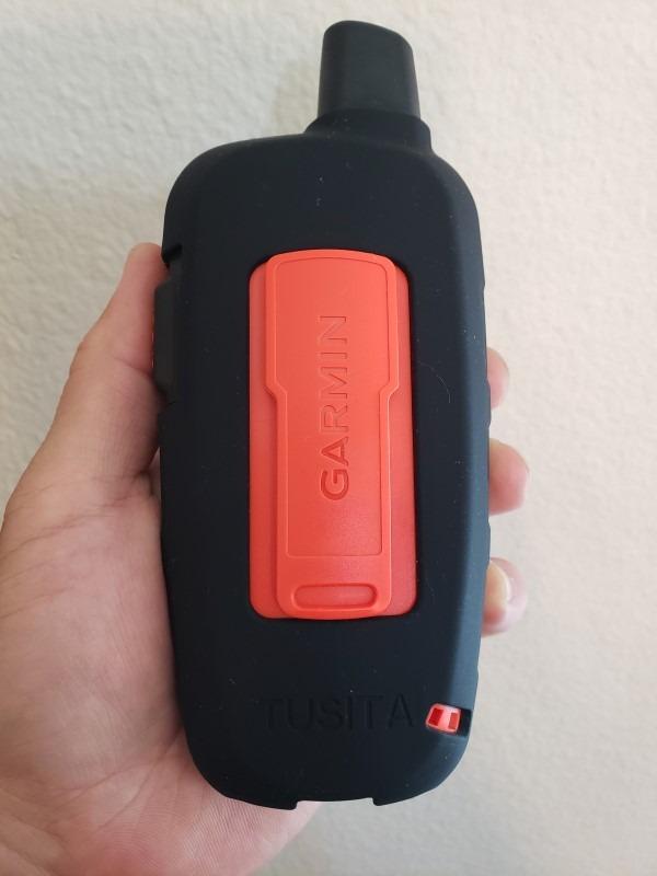
This is the unit that solves the problem nobody else in the list solves. Every other device makes you choose between a map and a message. This one carries preloaded Delorme topographic maps with on-screen GPS routing and a full Iridium satellite communicator in the same case, which means off-trail navigation and emergency contact stop being competing needs.
At eight ounces it is the second heaviest item here, and the internal rechargeable lithium battery plus IPX7 rating means there is no battery compartment to flood and no cells to carry. For a trip where you are carrying a full map device anyway, the weight is the cost of the messaging layer, which is a trade most solo hikers accept.
The 2.3 inch color display is small by current standards but it is a real screen showing real terrain, and the on-screen routing means you can plan a line through unfamiliar country from the device itself rather than only following a track you loaded at home.
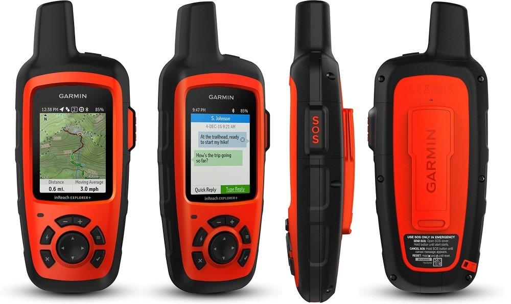
What holds it back is age. This is an older design, so the GNSS capability on board is behind what a current multi-band handheld carries, and in the hardest terrain a multi-band unit will simply hold a better position. The maps and messaging still work, but the raw satellite performance is not cutting edge.
The subscription is required for messaging and SOS, the same ongoing cost as every other communicator in this roundup, and reviewers consistently flag the purchase price as the highest in the group. It pairs with the earthmate app for downloadable maps, NOAA charts and colour aerial imagery, which extends the on-board map set considerably.
Menu-driven text entry without a paired phone is slow. The workaround owners use is to compose on a phone and send from the app, which is straightforward once the pairing is set up.
Who should buy the inReach Explorer+
Buy it if you are solo, you are going somewhere without marked trails, and you want one device rather than two. It is the most complete single answer to the question this roundup is actually asking.
It is also right for anyone whose trip profile includes hauling gear on a sled or working a remote hunting area, where a hard case that runs for days matters more than a light one.
Who should pass on it
Pass on it if accuracy in canyons and heavy canopy is the deciding factor. The multi-band handheld later in this roundup is built for exactly that, and you could carry it alongside a small communicator for less weight.
Pass on it if the ongoing subscription does not make sense for the number of trips you take, because the safety features that justify the price stop working without it.
7. Garmin GPSMAP 64st – Quad-Helix Reception and AA Battery Flexibility
Garmin GPSMAP 64st, TOPO U.S. 100K with High-Sensitivity GPS and GLONASS Receiver
2.6 inch transflective screen
Quad-helix antenna
8 GB plus microSD
Pros
- Acquires satellites fast and holds reception under dense canopy
- Runs on ordinary AA cells or a rechargeable NiMH pack
- 8 GB internal memory plus a microSD slot
- Bluetooth Smart and ANT+ sensor support
Cons
- Preloaded 100K maps are not routable and lack trail detail
- About 16 hours of battery life with the backlight off
- Dated mini-USB port
The antenna is the story on this unit. A quad-helix antenna with a high-sensitivity GPS and GLONASS receiver is the reason owners describe it locking on fast, including under dense tree cover and in poor conditions, and for off-trail work fast acquisition means fewer minutes of walking on a stale position.
The 2.6 inch transflective 65K color TFT screen is the most readable transflective panel in this roundup. Transflective displays are lit by ambient light rather than backlit, so they stay legible in direct sun without washing out, and they are far less prone to screen failure in cold weather than a glossy panel.
The dual battery system is genuinely useful in the field. Two AA cells mean you can carry alkalines for maximum runtime, lithium AAs for cold weather, or a rechargeable NiMH pack if you prefer not to think about it. Nobody else in this list gives you that many options from one device.
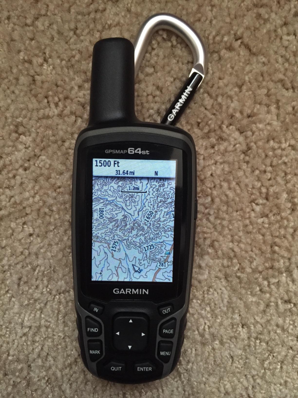
Eight gigabytes of internal memory plus a microSD slot is real capacity. It is enough for detailed regional topographic data, and the card slot means a second region or a large cache layer does not force you to delete anything.
Bluetooth Smart and ANT+ support let you pair heart rate, temperature and speed or cadence sensors, and Garmin Connect with Live Track handles phone-based activity sharing. There is a 3-axis electronic compass and barometric altimeter, and the unit is IPX7 rated with room for 200 stored routes.
The weak point is the preloaded map. The bundled TOPO U.S. 100K data is not routable and lacks useful trail detail, and owners routinely recommend loading proper 24K topographic data on a card instead. That is a real limitation for off-trail work, because trails and drainage detail are what you are navigating by.
Why the GPSMAP 64st still deserves consideration
It is one of the better options in the roundup for a phone-based workflow, because Bluetooth Smart and phone connectivity make transferring activity and sharing it painless. It is also a strong winter unit, given AA flexibility and a transflective screen that does not depend on a backlight.
For anyone who wants more reception margin than a budget unit without carrying a quarter-kilogram multi-band handheld, it sits in a sensible place.
Why it is not the first choice today
Battery life of about 16 hours with the backlight off is the shortest runtime among the mapping units here, and on a multi-day trip that becomes a packing problem rather than a detail.
The older internals, the dated mini-USB port, and no touchscreen all tell you where this device sits in the current lineup. It is a capable older unit rather than a current-generation one.
8. Garmin inReach Messenger – The Lightest Communicator With Group Messaging
Garmin inReach® Messenger Satellite Communicator, Global Two-Way Messaging
4 ounce body
Group messaging via app
Interactive SOS
28 days tracking mode
Pros
- Only 4 ounces so it disappears into any pack
- Safety charging can top up a depleted phone
- Preset check-in messages do not count against the text allowance
- Interactive SOS to a 24/7 staffed monitoring centre
- Up to 28 days in 10 minute tracking mode
Cons
- Very narrow 160 by 68 monochrome display is not usable for maps
- No topographic maps routing or breadcrumb navigation
- Active satellite subscription required
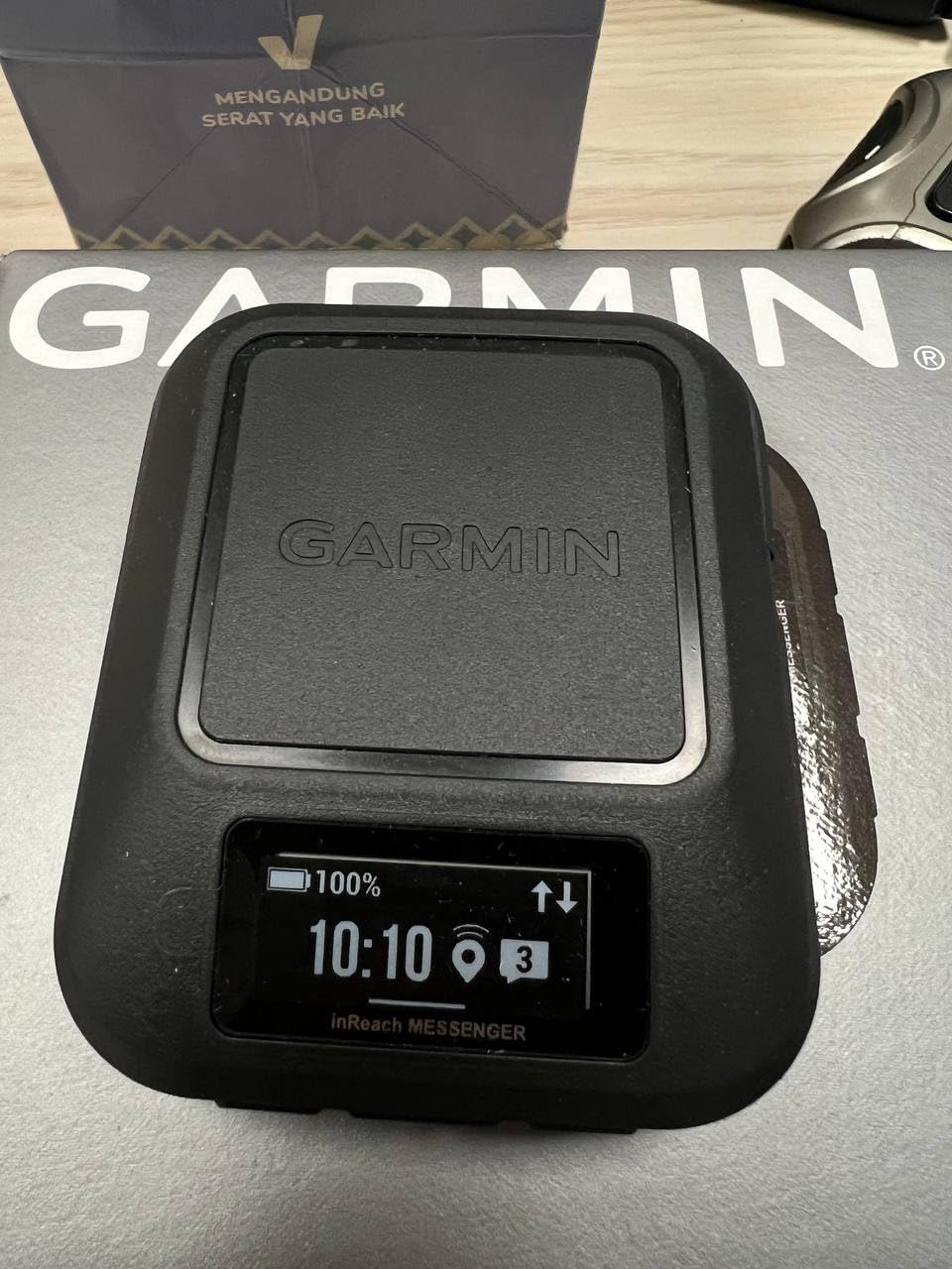
Four ounces is a remarkable place to start, and this is the lightest satellite communicator in the roundup. It is the piece I would add to an ultralight kit that already has a navigator, because at this weight the argument against carrying it essentially disappears.
Group messaging through the Garmin Messenger app is the feature that separates it from the smaller communicator in this list. You can text several contacts at once from the phone side, which turns a solo safety device into a small party communications tool for a group travelling in the same region.
Preset check-in messages are another thoughtful detail. Sending a preset does not count against your monthly text allowance, so routine daily check-ins are free once the plan is active, and only real messages consume the allocation.
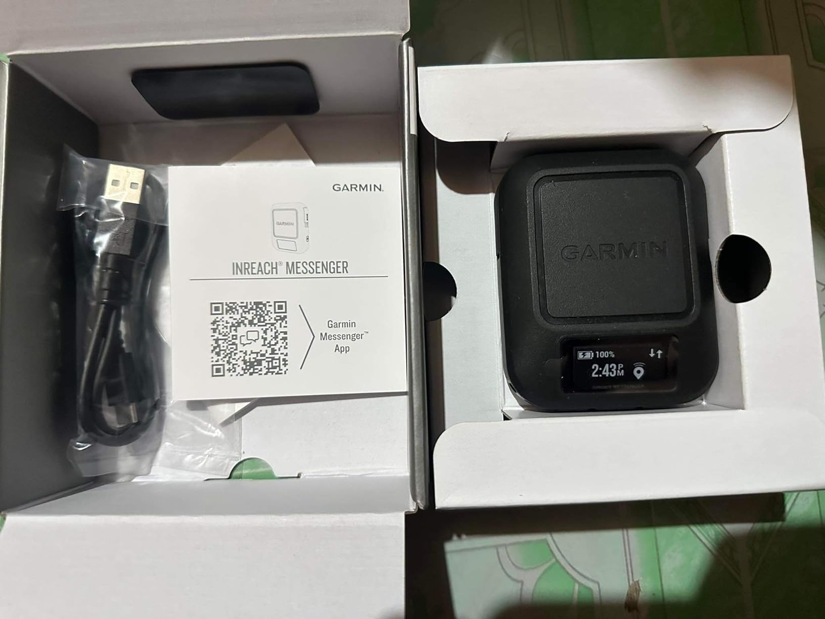
Safety charging is a practical emergency feature. The internal rechargeable lithium battery can top up a phone that has gone flat, which turns a dead device from a crisis into an inconvenience on a trip where a phone may be your only map.
Messages route over cellular when coverage allows and satellite when it does not, so ordinary communication inside coverage costs nothing. An interactive SOS button reaches a 24/7 staffed monitoring and coordination centre, and the up to 28 day figure in 10-minute tracking mode is the longest rated tracking endurance among the communicators here.
What it cannot do is navigate. The 160 by 68 monochrome display is a narrow strip, not a map surface, and there are no topographic maps, no routing, and no breadcrumb trail. Owners are clear that this is a messaging and SOS device rather than a navigator, and it pairs with Garmin handhelds and wearables to cover the navigation side.
Best fit for the inReach Messenger
It fits best on long solo trips where every gram counts and a full navigator is already in the pack. It is also a good choice for a party splitting a load of gear across several people.
The phone charging capability makes it valuable on any trip where a flat battery would be the real emergency, and the free preset check-ins make routine communication easy to justify.
Where it falls short
It falls short for anyone expecting a single device to do everything. Read the display as a message screen, not a map screen, and pair it rather than choosing it alone.
Like every communicator here, an active satellite subscription is required for messaging, check-ins and SOS. Budget for that as an ongoing cost, not a one-time purchase.
9. Garmin GPSMAP 62St – Onboard Topographic Data for People Who Never Sync
Garmin GPSMAP 62St Handheld GPS Navigator
2.6 inch transflective color screen
Onboard 100K topo data
Tilt-compensated compass
Pros
- Onboard 100K topographic data means no computer is ever required
- 2.6 inch transflective color screen is readable in sun
- Buttons work reliably in cold weather and gloves
- IPX7 waterproof build
- Geocaching support and worldwide basemap included
Cons
- Lowest average rating in the group with reported trip computer distance errors
- Compass reported to lose north and need frequent recalibration
- Only 500 MB of internal memory
- 160 by 240 resolution is low by modern standards
There is a specific user this device serves better than anything else here: someone who wants topographic detail on the device permanently and refuses to maintain a computer setup. The 100K topo data for the continental United States is on board at the factory and stays there.
That is a real convenience in the field. No download before the trip, no cable, no desktop client, and nothing to go wrong at a trailhead in the dark. The transflective 65K color screen at 2.6 inches is lit by ambient light rather than backlit, so it stays readable in direct sun, and the button interface works in gloves and cold.
There is also a tilt-compensated electronic compass and a barometric altimeter, area calculation, a photo viewer, geocaching modes including Sight and Go, and IPX7 waterproofing. Some owners use these units for field archaeology and survey work precisely because they take abuse and keep working.

The critical reviews concentrate in two places. Trip computer distance figures are reported as running somewhere between 8 and 19 percent off, which matters a lot if you are finding your way by distance-to-destination rather than by bearing, and the compass is reported to lose its north reference and need frequent recalibration.
Memory is another limit. Five hundred megabytes of internal storage is thin even for the on-board map set, and at 160 by 240 the screen is soft by any current standard. Owners of some units report initial hardware failures, and the average rating in the group reflects that spread of experiences.
There is no Bluetooth, no Wi-Fi, no smart notifications, and no satellite communication, so this is a purely offline navigator with no modern connectivity layer at all.
What still works about the GPSMAP 62St
Satellite acquisition is quick and reported accuracy lands around six to ten feet in good conditions, which is respectable. The physical build is described as rock solid, and around 20 hours of battery life is a workable day-plus figure.
For users who want a fixed, self-contained topographic reference with no software involvement, the convenience is real and hard to get anywhere else.
What has moved on since it launched
Everything wireless. There is no pairing, no notifications, no tracking, and no way to get new maps without a computer, which is a sharp contrast with how current handhelds are used.
It is also the lowest-rated device in this roundup, and the accuracy complaints are specific enough that we would not recommend it for tight navigation in the terrain this article is about.
10. Garmin GPSMAP 66sr – The Multi-Band Unit for Canopy and Canyons
Garmin GPSMAP 66sr, Hiking Handheld with Expanded GNSS and Multi-Band TechnologyHandheld, 3″ Color Display (010-02431-00), Black
3 inch color screen
Multi-band GNSS
36 hours standard,450 hours expedition
Pros
- Multi-band GNSS holds position around 6 feet where single-band units wander
- Keeps a fix under dense tree cover
- Large sharp 3 inch sunlight-readable color screen
- 36 hour standard battery and up to 450 hours in expedition mode
- BirdsEye imagery downloads with no annual subscription
Cons
- One of the higher-priced mapping handhelds here
- Internal Li-ion battery is not user-replaceable
If your off-trail work happens in canyons, forested slopes, or bad weather where a single-band receiver is guessing, this is the unit built for it. Multi-band GNSS listens on two frequency bands, which means it can measure how much the signal is distorted on its way to the antenna and correct for ionospheric and atmospheric error, rather than assuming the distortion is zero.
In practice that means a position that holds at roughly six feet in the conditions where single-band units drift tens of feet or stop updating. Owners specifically report that it keeps a fix under dense tree cover, and the satellite acquisition is close to instant, which removes the dead time at the start of a morning when a slower unit is still searching.
The 3 inch color screen at 240 by 400 is the largest and sharpest here, and it is sunlight-readable, which matters when the device is your primary map. BirdsEye satellite imagery downloads directly with no annual subscription, alongside routable TopoActive mapping and a federal public land map, so the mapping story is complete without a recurring fee.
Battery behaviour is the most useful thing about it in the field. Thirty-six hours in standard mode covers a long trip, and up to 450 hours in expedition mode is a genuine multi-week possibility on a single charge when you accept a dimmer screen and slower recording. There is also a 3-axis compass, barometric altimeter, an LED flashlight, Wikiloc trail support, and active weather.
Connectivity is current-generation: Wi-Fi, Bluetooth and ANT+, so it works well as a hub for sensors and for phone-based transfers.
The complaints are practical rather than fundamental. It sits at the higher end of the cost range for a mapping handheld, the internal lithium battery is not user-replaceable, charging is still micro-USB, and some owners report the unit freezing and shutting down in deep cold or having a charging port fail within a year. At 0.23 kilograms it is also the heaviest mapping unit here by a clear margin.
Why the GPSMAP 66sr is worth the extra capability
Multi-band is the difference between a position you can trust and a position that is plausible. In a slot canyon with a strip of sky, under closed canopy on a slope, or during a period of poor satellite geometry, that difference is the whole ballgame.
It also removes the need to think about subscription costs for imagery, and the 3 inch screen means you can actually read landform detail, which is what off-trail navigation is about.
Where its compromises bite
Weight is the first cost. Nearly a quarter of a kilogram on a body that is already sizeable means it is a two-device-carrying unit or a dedicated pack item rather than something you clip on.
A non-replaceable battery plus a micro-USB port and reported cold shutdowns are the reasons some users pick a lighter unit with AA cells instead. In deep winter, confirm the behaviour where you will actually be before you rely on it.
How to Choose a Handheld GPS for Off-Trail Navigation
Multi-band versus multi-GNSS is the decision that matters most
These two terms get used loosely, and the difference is the single most useful thing to understand before buying. Multi-GNSS means the receiver listens to more than one satellite constellation, such as GPS plus GLONASS plus Galileo and BeiDou. More satellites visible means faster acquisition and generally better behaviour under partial sky view. Multi-band means it listens to two frequency bands on those satellites and can correct for atmospheric distortion, which is what preserves accuracy in slot canyons, urban canyons, and dense forest.
For a marked-trail day hike, multi-GNSS is plenty. For the situations this article is about, multi-band is the feature worth paying for, and in this roundup the GPSMAP 66sr is the only unit that has it. Everything else depends on getting a reasonably clear view of the sky.
Screen size and gloves versus screen size and weight
Screen size is a straight trade against bulk and weight, and it interacts with how you control the device. Touchscreens let you pan and zoom a large map easily with bare hands, and they are miserable with gloves, in rain, or in cold. Tactile buttons work in every condition and cost you screen real estate and data entry speed.
Two point two to two point three inches is enough for a confident map reader standing still. Three inches and above is where you can read terrain shape at a glance, which is what you want when nobody knows the ground. Match the screen to your reading habits rather than to a number.
Battery chemistry and the tracking drain nobody warns you about
There are two battery philosophies in this roundup. AA and AAA cells, found in the Foretrex 401, the eTrex 22x, the eTrex 10, and the GPSMAP 64st, mean you can carry spares, mix lithium and alkaline, and swap in the cold. Internal lithium batteries, found in the communicators and the multi-band handheld, mean fewer things to carry and longer stated runtimes.
The catch is that spec-sheet battery figures assume a GPS-only duty cycle. Turning on satellite tracking, or a two-way connection, drains power continuously rather than intermittently, and real-world endurance in tracking mode is consistently lower than the headline number. If you are planning a multi-day trip on a communicator, check in on a conservative schedule and treat the published figure as a ceiling.
We covered the same trade in our picks for the best outdoor GPS watches for hiking, where battery life is the single most common reason a watch gets swapped out.
Satellite messaging, and when you actually need it
A GPS receiver listens. A satellite communicator transmits. The distinction is worth being explicit about, because several devices in this roundup do only one of the two and are marketed with language that blurs them.
Messaging is worth it when you are travelling alone, when the trip is longer than a day, and when a delay in being found would matter. It is also worth it for winter travel, hunting, and any route with no resupply and no other hikers. It is least worth it on a busy weekend loop with other people around.
Budget for the ongoing subscription. Every communicator in this roundup, including the phone-driven ZOLEO, requires an active plan for messaging and SOS, and a device with a lapsed plan is not a safety device.
ABC sensors: altimeter, barometer, compass
Every serious handheld here includes a barometric altimeter and an electronic compass, and they are more useful than most buyers expect. The altimeter gives continuous elevation between position updates, which is a cheap way to identify a wrong turn. The compass gives you a heading while standing still, when a GPS receiver has no motion data to work with.
Calibrate the altimeter at a known trailhead elevation or your elevation readings will drift noticeably over a multi-day trip. Recalibrate the compass after any hard magnetisation, such as a magnetic case clip or a car mount.
Maps, memory, and what you can actually load
Six megabytes of internal memory, as on the eTrex 10, means a basemap and nothing more. Five hundred megabytes, as on the GPSMAP 62St, is limited. Eight gigabytes plus a microSD slot, as on the eTrex 22x and GPSMAP 64st, is where real topographic detail lives.
Whatever you choose, load your maps before the trip. Field software workflows, whether the vendor desktop client, MapInstall, GMapTool, OpenMTP, or a mapping app such as Gaia GPS or CalTopo, all work best at a kitchen table with power, not at a trailhead in the dark. Our experience is that the software side of this category is the most frustrating part of the whole purchase, and the units that ship with usable routable data already on board spare you that entirely.
Handheld, phone, or watch
Your phone is a fine navigator. It has a large, bright screen, it already runs mapping apps you have used, and it does not need a second device. Its weaknesses are the ones that matter off-trail: cold drains lithium cells fast, mapping apps are power hungry, a cracked screen removes your only computer, and a phone with no bars is still a phone with no bars.
A GPS watch covers most handheld functions on the wrist with excellent battery life, at the cost of a small screen for map reading. It suits route following, breadcrumb navigation, and recording, and pairs well with a handheld for map detail. Our full breakdown of that format is in the backcountry GPS watch guide.
The strongest consensus among experienced backcountry users, and the arrangement we end up recommending, is a phone or watch as the primary and a handheld as the backup. Two independent devices means no single point of failure: a dropped phone, a dead battery, or a soaked screen no longer ends your navigation.
Field habits that improve accuracy more than any model choice
Give the receiver an unobstructed view of the sky at the start of the day. Stand still for a few minutes at the trailhead so it can download almanac data and settle on a fix, because a unit that starts with a stale orbital prediction will wander for the first while. Keep the device high on your body with the antenna facing the sky rather than strapped flat against your torso or under a heavy pack.
When a position looks wrong, give it time instead of walking. Averaging several readings before you save a waypoint is far more accurate than trusting the first number that appears, and it is the difference between a waypoint you can find and one you search for. Read the satellite sky map when a fix is unstable, because it shows you which direction your obstruction is. And if your terrain demands accuracy beyond what a single-band receiver can hold, no habit substitutes for a multi-band unit.
Finally, calibrate the altimeter at a known elevation, and treat GPS-derived elevation sceptically. Reviewers and users alike report GPS elevation running well off true values, which is why the barometric altimeter exists.
Frequently Asked Questions
Which handheld GPS is most accurate?
Multi-band GNSS units are the most accurate, because they listen on two frequency bands and correct for atmospheric signal distortion. In this roundup the Garmin GPSMAP 66sr is the only multi-band device, and owners report position holding at around 6 feet under dense tree cover. Units with GPS plus GLONASS multi-constellation support, such as the eTrex 22x and GPSMAP 64st, acquire faster and hold better under partial sky view but still drift in canyons.
What is the best handheld GPS for off trail navigation?
For off-trail work with no marked trails and no waypoints, multi-band GNSS matters most because it keeps a fix in canyons and under canopy. The Garmin GPSMAP 66sr is the top pick on raw accuracy, and the Garmin Foretrex 401 is the top pick for weight and reception at 3.1 ounces. If you also need satellite SOS, pair a navigator with a communicator such as the inReach Mini 2.
Is a handheld GPS worth getting?
Yes, as a backup and for specific conditions. Experienced backcountry users consistently treat a dedicated handheld as insurance against a dead, cracked, or wet phone, because cold drains lithium batteries and mapping apps are power hungry. A handheld also runs for days on a charge, works with gloves and rain, and in satellite-messenger models can raise an SOS when you are out of coverage entirely.
How do I improve GPS accuracy under tree cover?
Stand still at the trailhead for several minutes so the receiver downloads almanac data and settles on a fix. Carry the device high with the antenna facing the sky rather than flat against your body. Turn off smart recording and record on a fixed interval instead, and average several readings before saving a waypoint. For genuinely dense canopy, a multi-band unit beats any of these habits.
Can a handheld GPS replace a paper map and compass?
No. A handheld is an electronic tool that can fail, run out of power, or show a stale position, and a drifting position dot is convincing precisely because it looks certain. Carry a paper map and a compass, know how to use them without the device, and treat the GPS as confirmation rather than proof. Navigation skill, not hardware, is what keeps people safe.
Final Verdict: Which Hiking GPS Unit Should You Carry in 2026
After all of this, the best hiking GPS units for off trail navigation come down to what your terrain does to a satellite signal. Take the Foretrex 401 when weight and reliable reception under canopy decide the trip, the eTrex 22x when you want real routable maps without a subscription, and the GPSMAP 66sr when accuracy in canyons and closed forest is the thing you cannot compromise on.
If you are solo, add a communicator rather than replacing your navigator. The inReach Explorer+ is the only single device that does both jobs properly, and pairing a light navigator with the inReach Mini 2 or the four-ounce inReach Messenger is the lighter way to get the same coverage. Whatever you choose, load your maps before you leave, carry a paper backup, and pick a unit you will actually be able to operate with gloves on.