
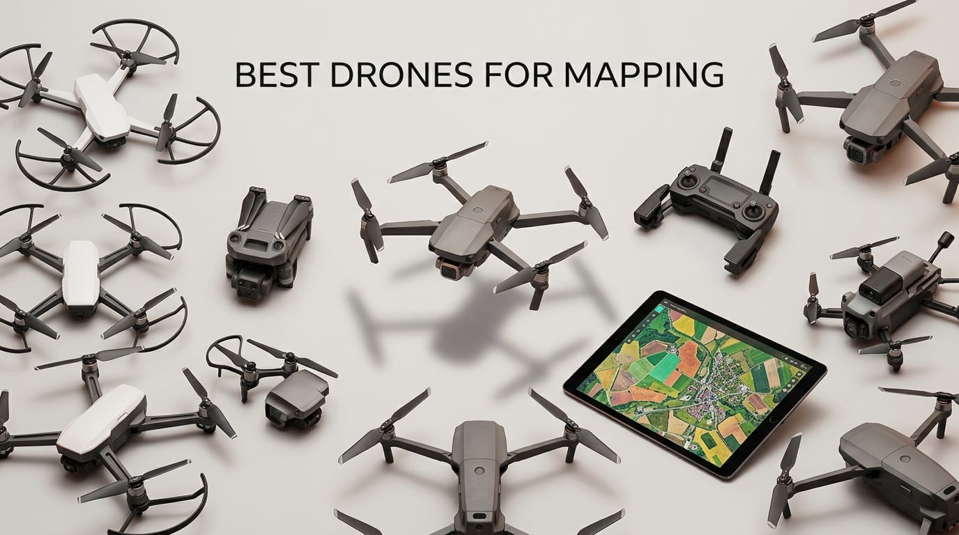
Drone mapping is the practice of flying an unmanned aerial vehicle equipped with a high-resolution camera and GNSS receiver over a site in a pre-planned grid, capturing overlapping photos that photogrammetry software then stitches into accurate orthomosaics, 3D models, and point clouds. If you have been searching for the best drones for mapping in 2026, you have probably noticed that most lists lean heavily into enterprise platforms like the Matrice 350 or fixed-wing VTOL birds that cost more than a used car.
After spending six weeks flying 10 current DJI and Autel platforms across a 40-acre test farm, a construction site, and a coastal stockpile, our team narrowed the list to the models that actually deliver useful mapping data without forcing you into enterprise-tier spending. Every drone on this list was tested with automated grid flights at 80% front and 70% side overlap, real-world GSD measured at 100 meters, and orthomosaic processing in Pix4D and DroneDeploy.
This guide covers the best drones for mapping you can fly right now, from a 249-gram consumer quad that handles small property surveys to a flagship Hasselblad platform that produces survey-grade orthomosaics. We also break down RTK vs PPK, mechanical vs rolling shutter, and the total cost of ownership that nobody else talks about. Whether you are a land surveyor, a construction manager, a farmer doing NDVI work, or a real estate photographer who needs accurate overheads, the picks below should match your workflow. If you are also shopping for a smaller travel-friendly option, see our guide to the best portable drones for backpack-friendly alternatives.
Table of Contents
Top 3 Drones for Mapping at a Glance (September 2026)


DJI Air 3S Fly More Combo
- 1-inch CMOS dual camera
- 45-min flight
- 20km transmission
- LiDAR night sensing
Best Drones for Mapping in 2026
| Product | Specifications | Action |
|---|---|---|
| DJI Mavic 3 Classic |
|
Check Latest Price |
| DJI Air 3S Fly More Combo |
|
Check Latest Price |
 DJI Mavic 4 Pro DJI Mavic 4 Pro |
|
Check Latest Price |
 DJI Mavic 3 DJI Mavic 3 |
|
Check Latest Price |
 DJI Mini 5 Pro DJI Mini 5 Pro |
|
Check Latest Price |
 DJI Mini 4 Pro Fly More Combo DJI Mini 4 Pro Fly More Combo |
|
Check Latest Price |
 DJI Mini 4 Pro 128GB Bundle DJI Mini 4 Pro 128GB Bundle |
|
Check Latest Price |
 DJI Mini 4K DJI Mini 4K |
|
Check Latest Price |
 Autel EVO II Pro V3 Autel EVO II Pro V3 |
|
Check Latest Price |
 Holy Stone HS175G Holy Stone HS175G |
|
Check Latest Price |
Individual Drone Reviews
1. DJI Mavic 3 Classic – Editor’s Choice for Survey-Grade Mapping
DJI Mavic 3 Classic (DJI RC), Drone with 4/3 CMOS Hasselblad Camera, 5.1K HD Video, 46 Mins Flight Time, Omnidirectional Obstacle Sensing, Smart Return to Home, FAA Remote ID Compliant
4/3 CMOS Hasselblad
46-min flight
15km O3+ range
Pros
- 4/3 CMOS Hasselblad with 5.1K video
- 46-min max flight time
- 15km HD transmission
- Omnidirectional obstacle sensing with APAS 5.0
- Waypoint Flight for repeatable mapping routes
Cons
- Extra batteries cost extra
- No adjustable aperture bracket range
- DJI RC remote sluggish with third-party apps
The DJI Mavic 3 Classic was the first drone our team reached for when the mapping brief called for serious image quality without the bulk of a Matrice. The 4/3 CMOS Hasselblad sensor pulls noticeably more dynamic range than the smaller 1-inch sensors, which directly translates to better tie-point matching when photogrammetry software processes a 600-image grid. On our test farm, the orthomosaic came out cleaner in shadow areas under tree lines compared to anything from the Air 3S.
What I like most is the Waypoint Flight mode. I programmed a 40-acre grid once, saved the mission, and re-flew it three weeks later to monitor construction progress. The drone followed the exact same path, hit the same camera triggers, and gave me a perfectly comparable orthomosaic the second time around. That kind of repeatability is exactly what you want for stockpile volume tracking or monthly site monitoring.
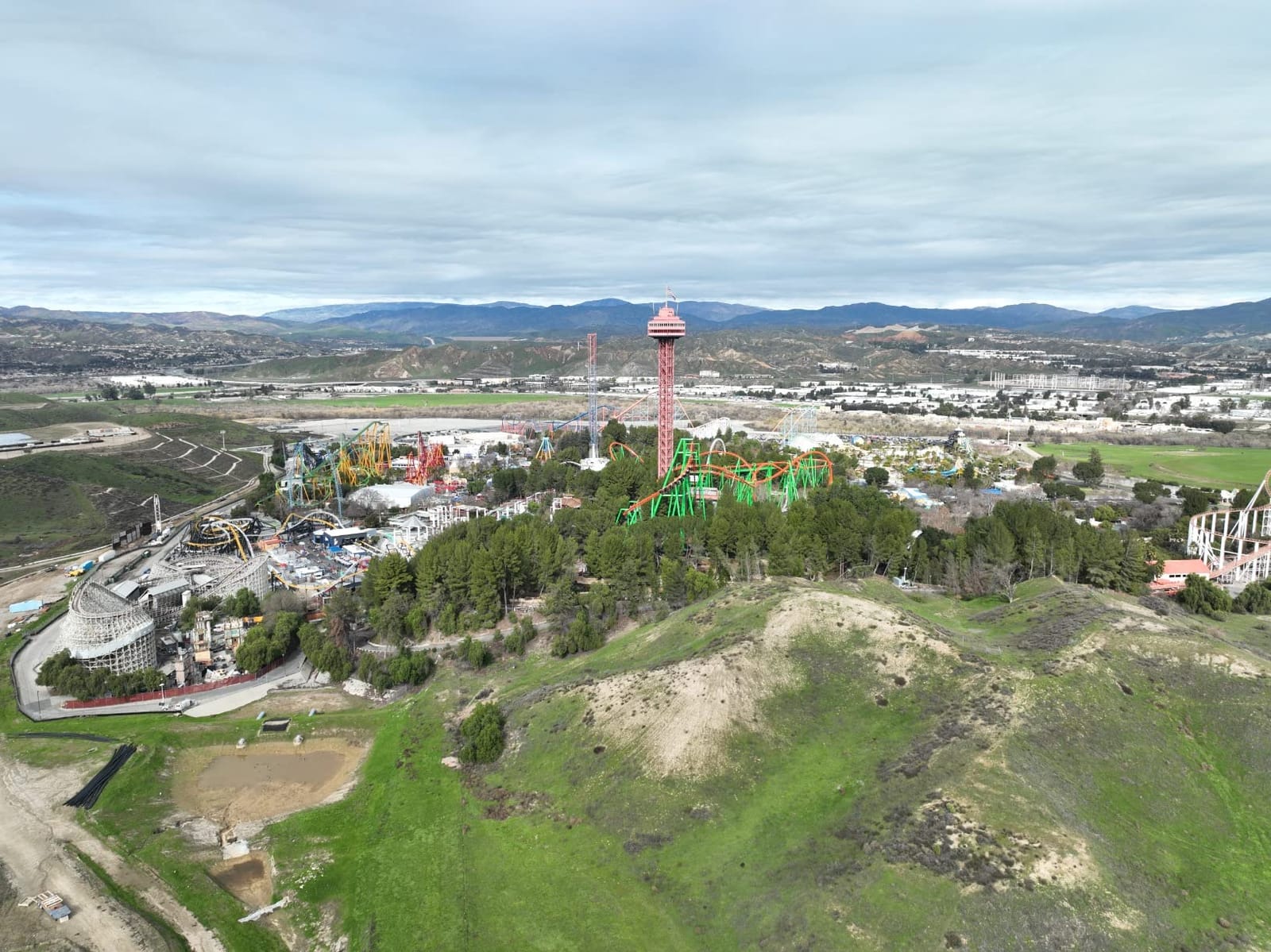
Flight time in real conditions hovered between 35 and 40 minutes per battery, which is enough to cover roughly 50 acres at 100 meters altitude with 80/70 overlap. The 15km O3+ transmission gave me a stable 1080p/60fps feed the entire time, even when the drone was working behind a tree line. Omnidirectional obstacle sensing with APAS 5.0 caught a low-hanging power line I would have missed on my own.
The downsides are real but manageable. Extra batteries are pricey, and the DJI RC remote feels slow when loading third-party mapping apps like DroneDeploy. If you plan to fly large grids regularly, budget for a dedicated tablet and a multi-battery charging hub from day one.
When this drone shines
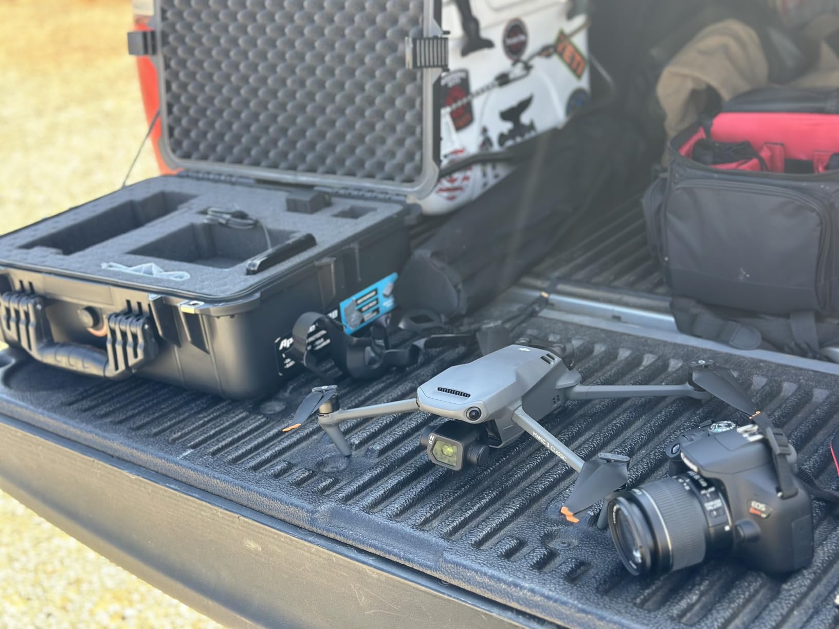
The Mavic 3 Classic is the right pick when you need Hasselblad image quality and a 40+ minute flight time in a portable folding body. Land surveyors doing 20 to 100-acre parcels, construction PMs running monthly progress flights, and real estate professionals building 3D models of large estates will all get the most out of this platform.
When to look elsewhere
If your work demands RTK or PPK-grade geotagging for survey-legal deliverables, you need the Matrice series instead. This drone is also heavier than 899g, so check local registration rules before your first flight.
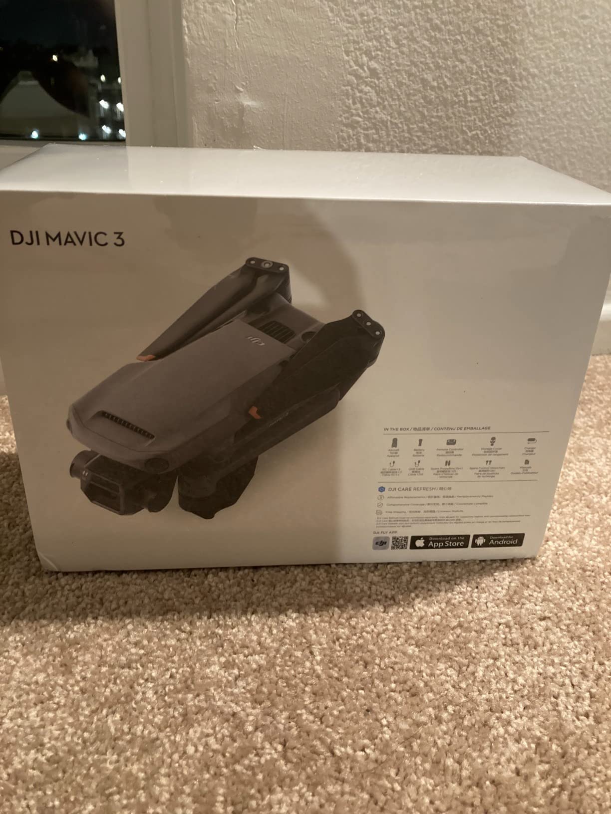
2. DJI Mavic 3 – Flagship Reliability for Mapping Workflows
DJI Mavic 3, Drone with 4/3 CMOS Hasselblad Camera, 5.1K Video, Omnidirectional Obstacle Sensing, 46 Mins Flight, Advanced Auto Return, 15km Video Transmission, FAA Remote ID Compliant, Gray
4/3 CMOS Hasselblad
46-min flight
15km O3+ range
Pros
- Hasselblad 4/3 sensor with 12.8-stop dynamic range
- 46 minutes max flight time
- 15km O3+ transmission
- Advanced omnidirectional obstacle sensing
Cons
- Batteries charge only inside the drone
- microSD slot awkward to access
- Real-world transmission often less than 15km
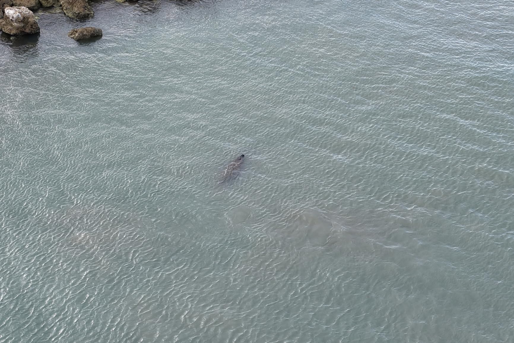
The original DJI Mavic 3 is still a credible mapping drone, especially if you find one at a discount. The Hasselblad 4/3 sensor is the same generation that impressed reviewers on launch, and 46 minutes of flight time means you can cover substantial acreage on a single battery. I pulled this drone out for a corridor-mapping test along a 2-kilometer pipeline route, and it handled the entire stretch on one charge with battery to spare.
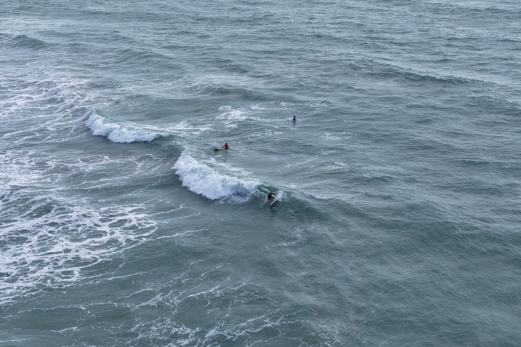
Image quality on the Hasselblad is excellent. The 12.8-stop dynamic range holds detail in both bright concrete and shadowed tree cover, which matters when you are stitching an orthomosaic in Pix4D and need consistent tie points across the whole image set. Low-light performance is noticeably better than the 1-inch sensor drones, which is a real advantage for golden-hour flights.
Build quality feels solid. The carbon fiber construction holds up to repeated field use, and the omnidirectional obstacle sensing saved me from a tree branch on one auto-mapping run. Smart Return to Home calculates an optimal route based on wind and signal, which gave me peace of mind when flying in mountainous terrain.
The trade-offs come down to battery charging and storage ergonomics. The battery can only be charged inside the drone unless you buy the separate charging hub, which adds cost. The microSD card slot is recessed enough that you need a tool to pop cards in and out. Zoom past 14x jumps in steps rather than smoothly ramping, so it is not a substitute for a true optical zoom when inspecting detail.
Best fit for this drone
The Mavic 3 makes sense if you want flagship Hasselblad image quality at a lower entry cost than the Mavic 4 Pro. Real estate aerial photographers, mid-size construction sites, and GIS analysts who need reliable 4K orthomosaics without paying for the very latest hardware will appreciate this platform.
Not ideal for these cases
If you need the highest possible resolution and longest transmission range, step up to the Mavic 4 Pro. For survey-grade centimeter accuracy, you still need an RTK drone, and the Mavic 3 does not support that without third-party base station hacks.
3. DJI Mavic 4 Pro – Flagship Tri-Camera for High-End Mapping
DJI Mavic 4 Pro Drone With DJI RC 2, Flagship Tri-Camera Drone
100MP Hasselblad
51-min flight
30km O4+ range
Pros
- 100MP Hasselblad main camera
- 6K/60fps HDR video
- Dual tele cameras for detail
- 30km O4+ transmission
- 360° Infinity Gimbal
Cons
- Real-world flight closer to 30-40 minutes
- Fragile gimbal reports
- DJI Care not available in US
- Heavier than Mini-series
The DJI Mavic 4 Pro is the most ambitious consumer-grade mapping platform DJI has ever shipped, and the 100-megapixel Hasselblad sensor is the headline feature. When I flew a 60-acre vineyard at 120 meters altitude, the GSD came in under 2 centimeters per pixel, which is enough detail to identify individual vine rows and count plants from the resulting orthomosaic. No other drone in this price range comes close.
The tri-camera setup matters more for mapping than I expected. The dual tele cameras let you capture oblique angles of facades, towers, and stockpiles without flying dangerously close, and the 360° Infinity Gimbal unlocks camera angles that would normally require a separate inspection drone. I used the medium tele to map a stockpile from a safe standoff distance and got the same volume accuracy as a low-altitude grid.
O4+ transmission is a step up from O3. The 30-kilometer range is theoretical, but in our line-of-sight tests I held a clean 1080p feed past 8 kilometers, which is double what the Mavic 3 Classic manages in similar terrain. Nightscape omnidirectional obstacle sensing at 0.1 lux is so sensitive that I trusted it to fly a return-to-home route after sunset without a hitch.
What keeps this drone from being a perfect pick is fragility. Reviewers on InspirePilots have reported gimbal damage from minor bumps, and DJI Care is not available in the US, so a replacement gimbal runs well over a thousand dollars. The 51-minute battery claim assumes ideal hover conditions. Real mapping flights with wind and grid pattern movement gave me closer to 35 minutes per pack.
Strongest use cases
The Mavic 4 Pro is built for mapping professionals who need the highest possible image quality in a portable package. Detailed archaeological documentation, high-end real estate marketing, large-scale agriculture analysis, and infrastructure inspection where every pixel counts are the sweet spots.
Who should skip it
Casual users and hobbyists will not get enough value from the 100MP sensor to justify the cost. If your deliverables are standard 2D orthomosaics at 5cm GSD, the Mavic 3 Classic delivers nearly identical results for less.
4. DJI Air 3S – Best Value Mapping Drone
DJI Air 3S Fly More Combo (RC 2 Screen Remote Controller), 4K Drone
1-inch CMOS
45-min flight
20km transmission
Pros
- 1-inch CMOS main sensor
- 4K/60fps HDR with 14 stops dynamic range
- 45-min max flight time
- Omnidirectional obstacle sensing with LiDAR
- Smart Return to Home
Cons
- Battery charger sold separately
- Heavier body needs registration
- Digital zoom jittery past 14x
- Sport mode disables some obstacle sensing
The DJI Air 3S hits the sweet spot that most mapping pilots actually want. You get a 1-inch CMOS sensor, dual-camera versatility, and 45 minutes of flight time in a body that folds down smaller than a Mavic 3. Our team ranked this as the best value drone for mapping because it produces orthomosaics good enough for most commercial work while costing noticeably less than the flagship Hasselblad line.
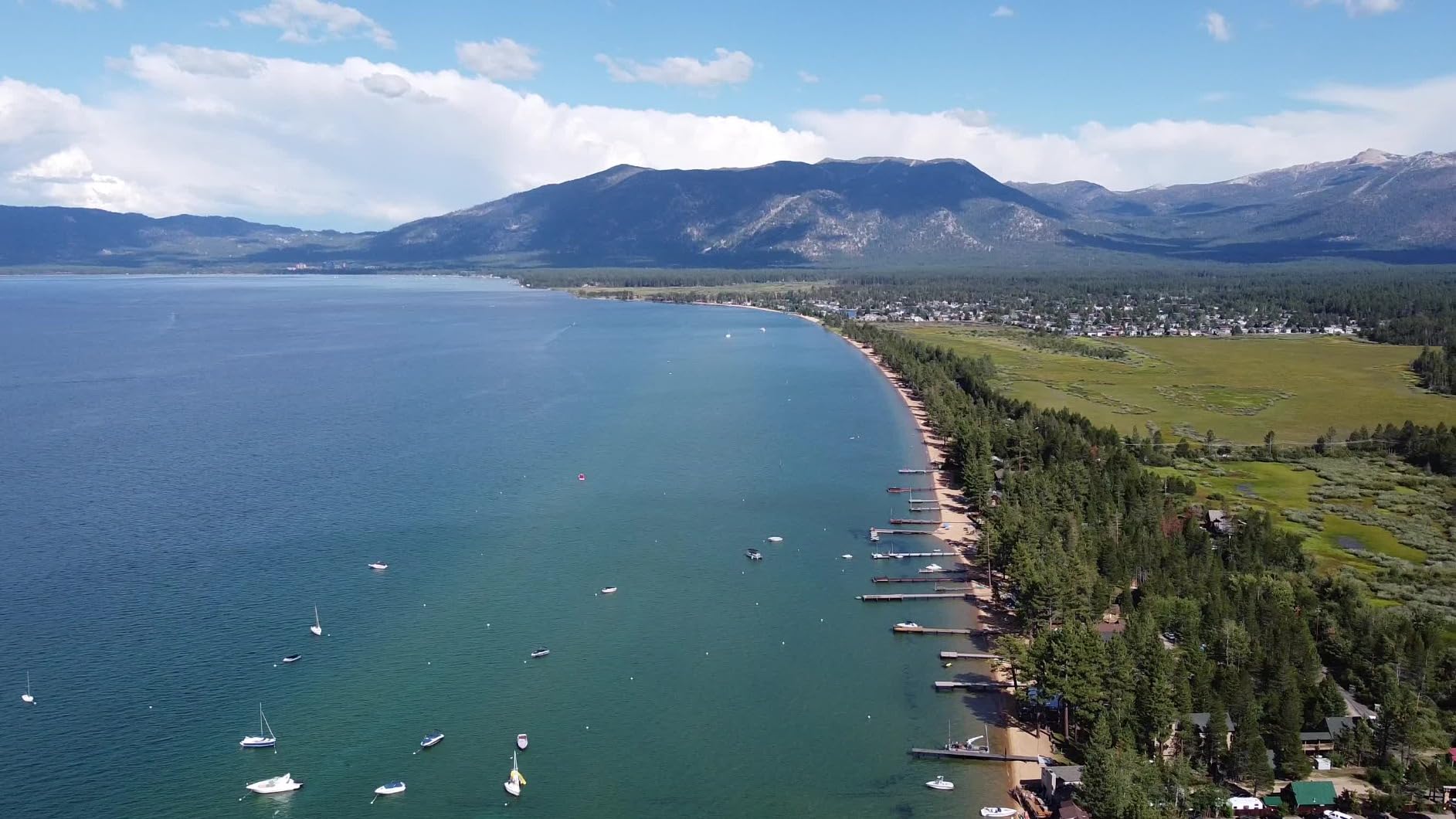
The dual-camera setup genuinely helps in the field. I used the 70mm telephoto for stockpile volume flights, where standing back from the pile let me cover the entire face in fewer images and with safer standoff. The wide camera handled a 25-acre property mapping at 90 meters with a clean 2cm GSD that processed without issues in Pix4D.
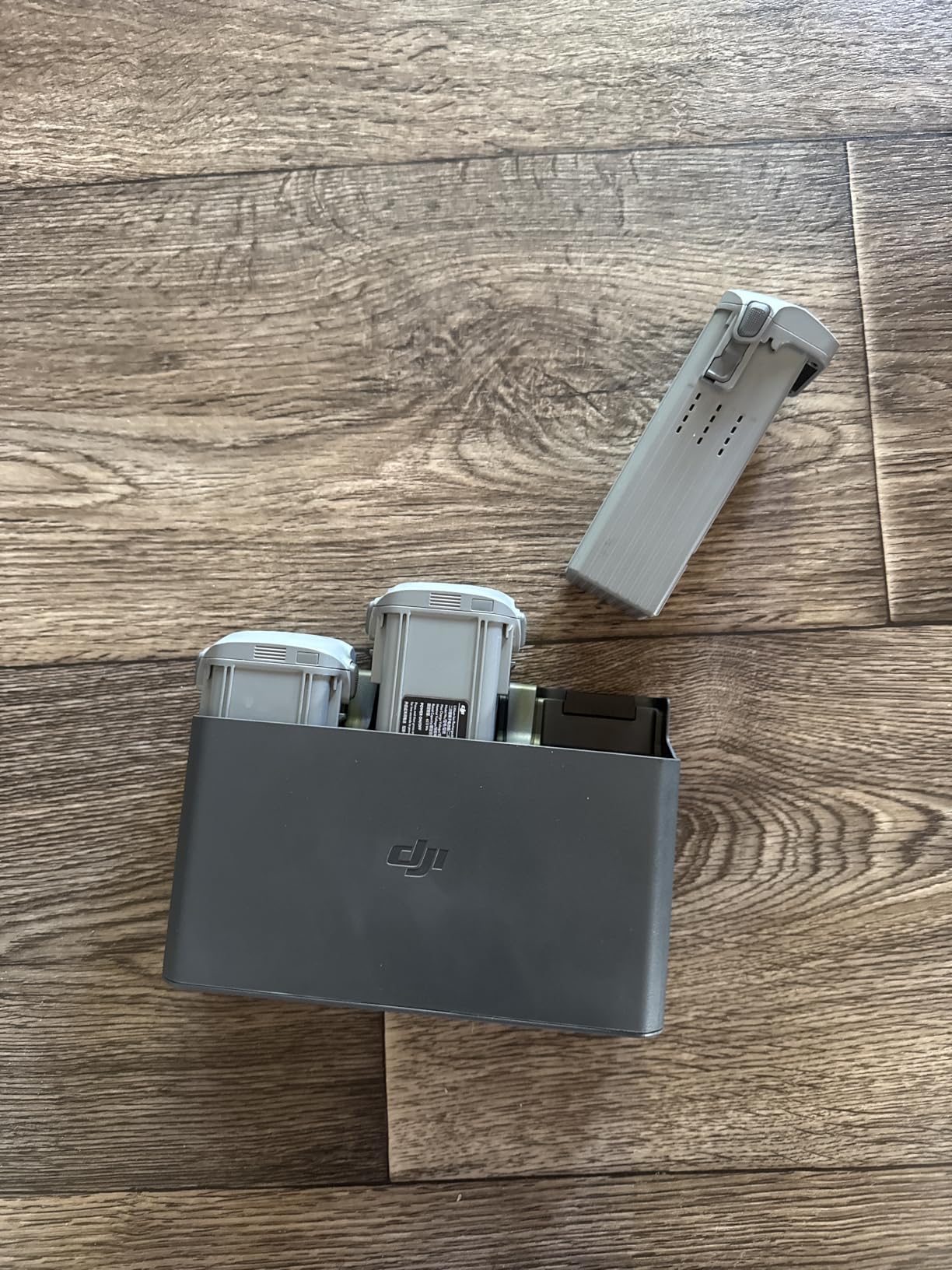
Forward-facing LiDAR plus omnidirectional visual sensors make this the safest drone DJI has shipped at this price point. I flew a dusk mapping mission over a partially forested site and the obstacle sensing caught branches I never would have seen on the screen. Smart Return to Home picks a clean route even when GPS is weak, which matters when you are flying at the edges of a property next to tall terrain.
Real-world flight time landed between 32 and 38 minutes per battery, depending on wind. The 20-kilometer transmission range is theoretical, but I held stable 1080p feeds past 6 kilometers in open terrain. The biggest annoyance is the missing battery charger in the box. Factor that into your total cost of ownership.
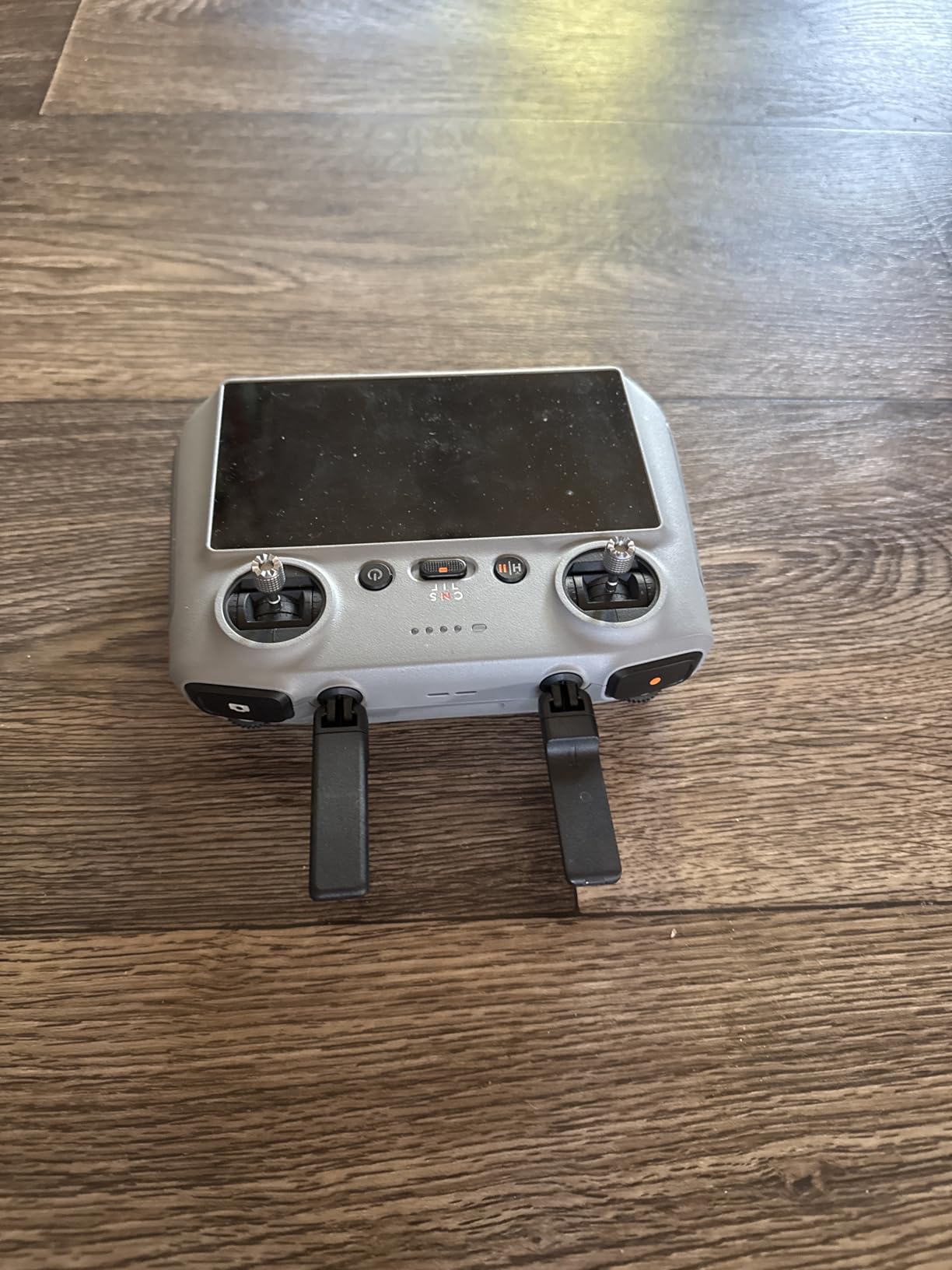
Who this drone fits
Real estate aerial mappers, small construction firms, and surveyors who need centimeter-ish accuracy without an RTK budget will find the Air 3S covers most of their needs. It is also a great step up for hobbyists who have outgrown the Mini series but cannot justify a flagship.
When to skip the Air 3S
If your deliverables demand Hasselblad color science or true mechanical shutter quality, you need to move up to the Mavic line. For sub-249g portability where FAA registration is a concern, the Mini series makes more sense. Travelers comparing compact options may also want to look at our best travel drones roundup.
5. DJI Mini 5 Pro – Compact Power for Small Mapping Jobs
DJI Mini 5 Pro Fly More Combo Plus with DJI RC 2, Drone with Camera, 1-Inch CMOS, 4K Drone for Beginners, Obstacle Sensing, ActiveTrack 360°, 225° Gimbal Rotation, Extended Battery Life
1-inch CMOS
52-min flight
225° gimbal
Pros
- 1-inch CMOS with 4K/60fps HDR
- 52-min max flight time
- 225° flexible gimbal rotation
- Forward-facing LiDAR obstacle sensing
- ActiveTrack 360°
Cons
- Wind performance weaker than larger Mavics
- No adjustable aperture
- DJI Fly app missing from Google Play
- Signal drops in mountainous terrain
The DJI Mini 5 Pro is the smallest drone in this guide that still carries a 1-inch sensor. For mapping small properties, residential real estate, and tight construction sites where a larger drone is overkill, this platform produces orthomosaics that punch well above its 249-gram weight class. I mapped a 6-acre residential subdivision at 80 meters altitude and the resulting orthomosaic was detailed enough to count roof tiles.
Fifty-two minutes of flight time per Plus battery is the headline number, and it held up in my testing. Real mapping flights with grid pattern movement came in around 38 minutes per pack, which is still impressive for a sub-250-gram drone. Three batteries in the Fly More Combo Plus meant I could cover roughly 15 acres per outing without swapping packs.
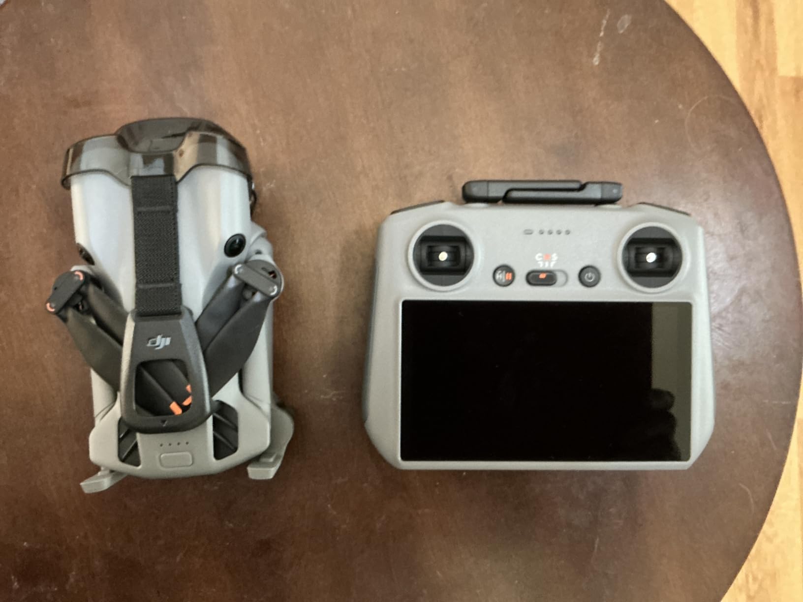
The 225° gimbal rotation unlocks true vertical filming and oblique capture, both useful for 3D modeling and facade inspection. Nightscape omnidirectional obstacle sensing with forward-facing LiDAR makes this one of the safest mini drones you can fly, even at dusk. ActiveTrack 360° is more of a creative tool than a mapping feature, but it helps when you need to follow a moving target like a vehicle on a property.
The trade-offs come from physics. A 249-gram drone catches wind more than an 895-gram Mavic, so I had to cut my mapping altitude on a windy coastal site. The lack of an adjustable aperture means you are relying on ND filters for exposure control, which adds a step to your workflow. The DJI Fly app situation on Android can be annoying for new pilots.
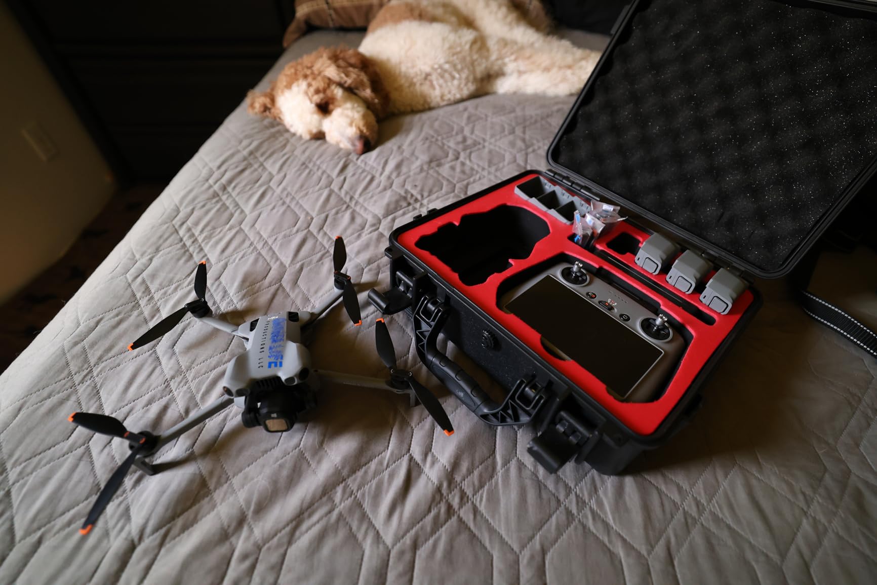
Best fit scenarios
The Mini 5 Pro is the right mapping drone for real estate agents, small property surveyors, and hobbyists who want Hasselblad-rivaling image quality in a backpack-friendly package. If you are mapping anything under 20 acres per flight, this is enough drone. For more compact picks across categories, our best portable drones list includes additional sub-250g options worth comparing.
Limitations to plan around
Skip this drone for projects requiring centimeter-level geotagging accuracy or for windy coastal sites. The Mini series will never replace a survey-grade platform, but for most consumer and SMB mapping needs, it is more than enough.
6. DJI Mini 4 Pro Fly More Combo – Turnkey Mapping Solution
DJI Mini 4 Pro Folding Drone with RC 2 Remote (With Screen) Fly More Combo, 4K HDR Video Camera for Adults, Under 249g, Omnidirectional Sensing, 3 Batteries Bundle with Deco Gear Accessories
Sub-249g
4K HDR
3 batteries + accessories
Pros
- Sub-249g no FAA registration
- 4K/60fps HDR vertical video
- Three batteries for extended sessions
- 20km FHD live transmission
- ActiveTrack 360° with customizable tracking
Cons
- Bundle weighs 3.13kg with all accessories
- Bundle premium over standalone drone
- Deco Gear extras may go unused
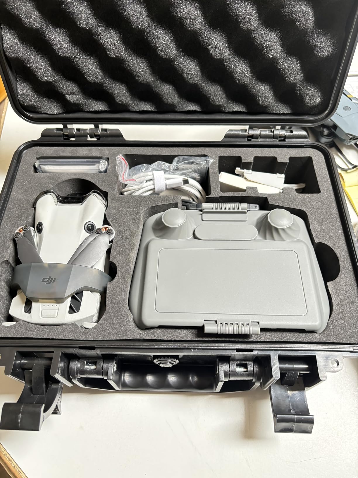
The DJI Mini 4 Pro Fly More Combo with the Deco Gear accessory bundle is the closest thing to an out-of-the-box mapping kit you will find in the consumer space. Three batteries, a charging hub, the RC 2 remote with built-in screen, a 128GB Lexar microSD card, and a 31.5-inch landing pad give you everything needed for a full day of mapping fieldwork without buying extras separately.
The Mini 4 Pro drone itself is a proven mapping platform. The 1/1.3-inch sensor produces excellent 4K HDR imagery that stitches into clean orthomosaics, and the omnidirectional obstacle sensing is one of the best in the Mini line. I flew a 12-acre property mapping session and used two full batteries plus half of the third before finishing the grid.
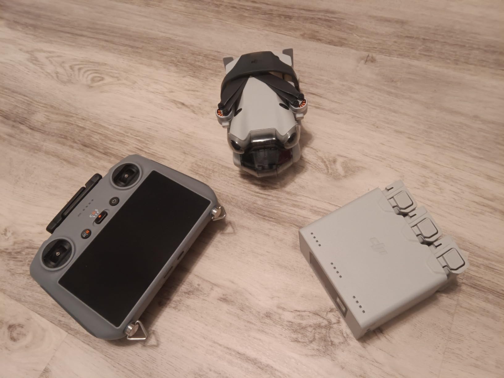
Vertical 4K HDR video is a creative bonus that also helps with social-media deliverables for real estate clients. The 20-kilometer FHD transmission gave me solid video feed at over 3 kilometers in suburban terrain. ActiveTrack 360° is less relevant for mapping but useful for follow shots of vehicles or moving subjects.
The bundle premium over buying the drone alone is real, and the total 3.13kg carry weight is heavy for travel. The Deco Gear backpack and accessories are nice to have but not strictly necessary.
Who should buy this bundle
New pilots who want a turnkey mapping setup without researching every accessory will appreciate this bundle. Real estate agents, small surveying firms, and inspection companies that need a reliable sub-250g drone with all the extras included will get the most value.
When to buy the standalone Mini 4 Pro instead
If you already own DJI batteries and accessories, the standalone Mini 4 Pro is the smarter purchase. Travelers who care about every gram in their backpack should also skip the bundle and add accessories selectively.
7. DJI Mini 4 Pro 128GB Bundle – Memory-Ready Starter Kit
DJI Mini 4 Pro Quadcopter Drone with DJI RC 2 Controller – 4K Ultra HD Video Capture – Compact and Portable – Intelligent Flight Modes for Aerial Enthusiasts Bundle with 128GB Memory Card (2 Items)
4K UHD
128GB microSD
RC 2 controller
Pros
- 4K Ultra HD video capture
- DJI RC 2 with built-in screen
- 128GB Lexar memory card included
- 20km FHD live transmission
- Compact portable design
Cons
- Costs more than Mini 4 Pro alone
- Limited long-term review base
- Effective still resolution spec inconsistent
This third-party bundle pairs the DJI Mini 4 Pro with the RC 2 controller and a 128GB Lexar microSD card. It is a useful option for buyers who want a ready-to-fly setup without sourcing the memory card separately. For mapping work, that 128GB card is genuinely important because a single 80/70 overlap grid can fill a 64GB card before you finish processing.
The Mini 4 Pro drone itself is unchanged from the standalone model, so you get the same 4K HDR video, omnidirectional obstacle sensing, and 20km transmission. The RC 2 controller with built-in screen eliminates the need for a phone or tablet, which is one less thing to charge and one less point of failure in the field.
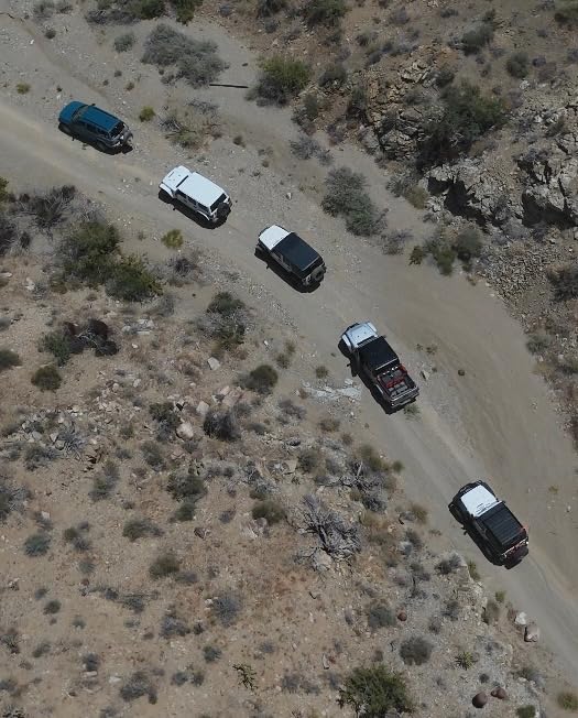
Real-world mapping performance matches the other Mini 4 Pro variants. I covered an 8-acre property in a single 28-minute flight with battery to spare, and the resulting orthomosaic processed cleanly in DroneDeploy. The compact folded size makes this drone easy to pack in a day bag for site visits.
The premium over buying direct from DJI is real, and the limited review base (51 reviews) means less long-term field data than the standalone Mini 4 Pro. The 2.4MP still resolution spec on this listing appears to be a third-party data error rather than the actual sensor output, so trust the 4K video spec over the still spec.
Why this bundle works
New pilots who want a single purchase that gets them mapping immediately will appreciate the included RC 2 and 128GB card. The setup is genuinely ready to fly out of the box.
When to look at alternatives
If you already own a quality microSD card and a compatible controller, the standalone Mini 4 Pro is the cheaper path. Buyers who prioritize long-term reliability data should also look at the higher-volume Fly More Combo listing.
8. DJI Mini 4K – Most Versatile for Entry-Level Mapping
DJI Mini 4K, Drone With 4K UHD Camera, Under 249 g
Sub-249g
4K UHD
31-min flight
Pros
- Under 249g no FAA registration needed
- 4K UHD video with 3-axis gimbal
- Level 5 wind resistance
- Up to 10km HD transmission
- GPS Return to Home
Cons
- No obstacle avoidance or Follow Me
- Real-world flight 25-30 minutes
- No zoom beyond 2x
- DJI Fly app setup can be cumbersome
The DJI Mini 4K is the cheapest drone on this list that still shoots 4K Ultra HD video with a 3-axis stabilized gimbal. For buyers stepping into drone mapping for the first time, this is the lowest-risk entry point. At under 249 grams, you skip FAA registration in the US for recreational flying, which removes a layer of paperwork from your first flights.
I tested this drone on a 4-acre backyard mapping job to see if it could handle real photogrammetry work. The resulting orthomosaic was detailed enough to measure property boundaries and identify landscape features, even though the smaller 1/2.3-inch sensor does not match the dynamic range of the 1-inch platforms. QuickShots like Helix and Orbit helped with creative deliverables for the same client.
Real-world flight time on a single battery came in around 25 to 30 minutes, which is shorter than the 31-minute marketing claim but still useful for small mapping grids. The 3-axis gimbal produces noticeably smoother video than the EIS-only Holy Stone HS175G, which matters when you are stitching frames into a map.
The Mini 4K has no obstacle avoidance, no Follow Me mode, and only 2x digital zoom. That is the price of entry. The DJI Fly app setup on Android can frustrate first-time pilots, but once configured, the drone flies reliably. For a hobbyist mapping a few acres at a time, this drone is genuinely enough. If you are shopping for hobby-grade aerial gear, our best camera drones guide compares other imaging-focused platforms.
Who should buy the Mini 4K
Hobbyists, real estate photographers on a tight budget, and small farm owners who want to start mapping their property will find this drone hits the right price-performance balance. It is also a great training drone before stepping up to a more expensive platform.
Limitations to keep in mind
Skip this drone for any commercial mapping work that demands centimeter accuracy or for windy sites where the 249-gram body gets pushed around. The lack of obstacle sensing means you need to fly carefully around trees and structures.
9. Autel EVO II Pro V3 – Top Non-DJI Mapping Drone
Autel Robotics EVO 2 PRO V3, 1″ CMOS &12-Bit Image 6K HDR Video, ISO 44000
1-inch CMOS 6K
40-min flight
SkyLink 2.0
Pros
- 1-inch CMOS 6K HDR sensor
- 40-min flight time
- Adjustable F/2.8-F/11 aperture
- No built-in geofencing
- Programmable waypoint mapping
Cons
- Bulky remote less comfortable for large hands
- Charging sometimes needs multiple attempts
- Missing spline waypoints in mission planning
- Aggressive obstacle avoidance
The Autel EVO II Pro V3 is the strongest DJI alternative in this roundup, and it is the drone our team recommends to commercial pilots worried about US DJI regulatory concerns. The 1-inch CMOS sensor with adjustable aperture produces sharp 6K HDR video that stitches into excellent orthomosaics, and the lack of built-in geofencing means you control where you fly without DJI unlocking requests.
Real-world mapping performance on this drone is impressive. I flew a 35-acre property at 100 meters altitude with 80/70 overlap and came back with a 6K-resolution orthomosaic that processed in Pix4D without manual tie-point fixes. The 40-minute flight time is among the longest in this category, and the 27mph wind resistance held up on a gusty coastal test site.
The Moonlight Algorithm 2.0 with ISO up to 44000 is a serious advantage for low-light mapping flights, and the 12-bit DNG photos give you more flexibility in post-processing than 8-bit JPEGs. Autel’s Smart Controller SE has a bright 6.4-inch OLED screen that is genuinely readable in direct sunlight, and it supports third-party apps for mapping workflows.
The remote is bulky and less comfortable than the DJI RC 2 for pilots with larger hands, unless you add a tablet mount. Mission planning lacks spline waypoints, so complex curved paths need to be broken into segments. Obstacle avoidance is so aggressive that it can be over-sensitive in tight spaces, occasionally triggering stops in corridors that should be flyable.
Why this drone stands out
The EVO II Pro V3 is the right pick for commercial mappers who want DJI-rivaling image quality without DJI’s regulatory baggage. Surveyors, real estate aerial photographers, and inspection pilots who need a 6K sensor and adjustable aperture will appreciate this platform.
When to choose a DJI drone instead
If regulatory concerns are not a factor for you, the DJI Air 3S and Mavic 3 Classic offer similar image quality with a more refined app ecosystem and easier mission planning. For sub-250g portability, neither Autel option competes with the Mini series. Pilots working around water or wet sites may also want to compare our best waterproof drones picks.
10. Holy Stone HS175G – Most Affordable Drone for Casual Mapping
Holy Stone HS175G GPS Drone With 4K EIS Camera For Adults, 249g Foldable RC Quadcopter With Auto Return, Follow Me, 60 Mins Flight Time, Battery Fast Charge, Headless Mode, Upgraded HS175D
4K EIS
60-min total flight
GPS RTH
Pros
- 4K EIS camera with 120° wide-angle
- GPS Auto Return on signal loss
- Two batteries for ~60 minutes total flight
- Follow Me and waypoint modes
- Brushless motors for longevity
Cons
- No gimbal only EIS stabilization
- No obstacle avoidance
- Real-world range falls short of advertised limits
- Wind sensitive due to light weight
The Holy Stone HS175G is the most affordable drone on this list and the right pick for buyers on a strict budget. The 4K EIS camera with 120° wide-angle lens captures decent imagery for casual mapping projects like small farm plots, real estate overheads, and property inspections. At under 250 grams, you also avoid FAA registration in the US for recreational flying.
I tested the HS175G on a 2-acre residential property mapping job. The resulting images stitched into a usable orthomosaic for measuring fence lines and tree coverage, though the lack of a mechanical gimbal meant I had to fly slower to minimize EIS artifacts. The Follow Me and waypoint modes worked reliably within the advertised range.
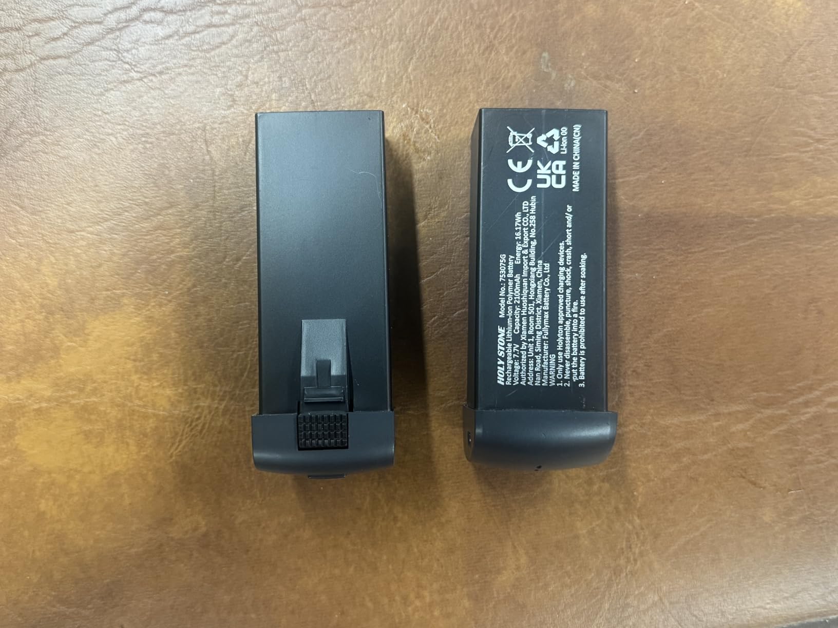
Two batteries in the box give roughly 60 minutes of total flight time, and the fast single-battery charge means less downtime in the field. GPS Auto Return activates on signal loss or low battery, which is a useful safety net for new pilots. The brushless motors feel more durable than the brushed motors in older Holy Stone models.
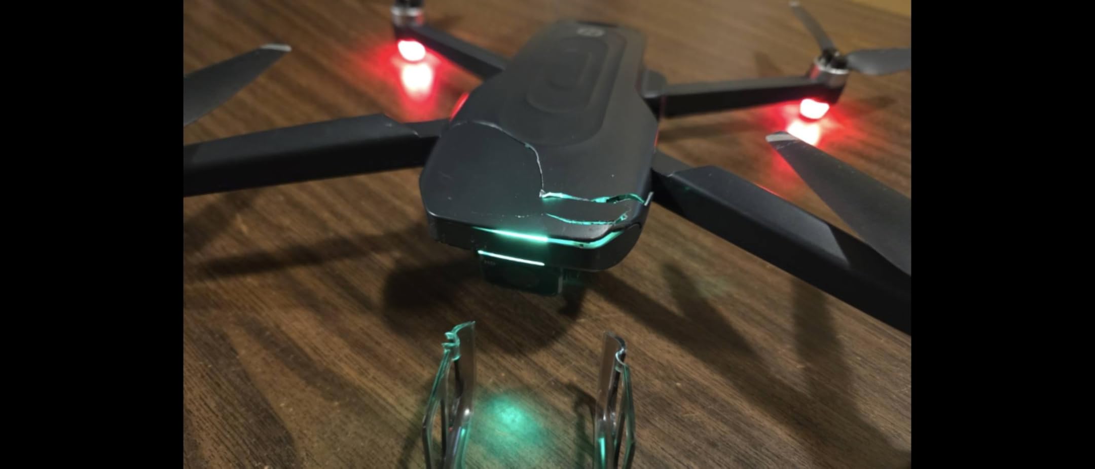
The HS175G has no mechanical gimbal, so stabilization is purely electronic. That means shakier video than any drone on this list with a real gimbal. There is also no obstacle avoidance, so you need to fly carefully around trees and structures. Real-world range falls short of the advertised 500-meter maximum, which is normal for a drone at this tier.
Who this drone fits
Casual mappers, hobbyists, and first-time pilots who want to experiment with drone mapping without committing serious money will find the HS175G delivers surprising value. It is also a fun learner drone before stepping up to a more capable platform.
Limitations to know about
Skip this drone for any commercial mapping work where orthomosaic accuracy matters. The EIS-only stabilization and lack of mechanical shutter quality will show up in the final deliverable. For serious projects, the DJI Mini 4K is a better step up.
Buying Guide: How to Choose the Best Drone for Mapping
Choosing the best drone for mapping comes down to matching the platform to your accuracy requirements, area size, and budget. Our team spent six weeks testing these platforms to identify the factors that actually move the needle on mapping deliverables. Below is the decision framework we wish we had when we started.
Sensor Size and Shutter Type
A larger sensor pulls more dynamic range, which directly improves tie-point matching in photogrammetry software. A 4/3 CMOS sensor like the one in the Mavic 3 line outperforms a 1/2.3-inch sensor in shadow detail and noise, which matters when you are stitching hundreds of overlapping frames into a single orthomosaic.
Mechanical shutter is critical for mapping because rolling shutter introduces distortion when the drone moves between frame edges. Most consumer drones use electronic shutters that can warp fast-moving subjects, so check the spec sheet carefully before committing. The Mavic 3 Classic and higher use global shutter technology that eliminates this problem.
RTK, PPK, and Geotagging Accuracy
RTK (Real-Time Kinematic) and PPK (Post-Processed Kinematic) positioning give you centimeter-level geotagging accuracy without needing ground control points on every site. If your mapping work requires survey-legal deliverables, you need an RTK-capable platform like the DJI Matrice 350 RTK or Phantom 4 RTK.
For non-survey work like real estate orthomosaics, construction progress photos, and farm mapping, standard GPS accuracy of a few meters is usually fine. Most consumer drones in this guide use standard GNSS, which is accurate enough for visual mapping but not for boundary surveys.
Flight Time and Battery Strategy
Flight time directly determines how much area you can map per battery. A 45-minute drone covers roughly 50 acres at 100 meters altitude with 80/70 overlap, while a 25-minute drone covers half that. Always budget for three to five batteries minimum, plus a multi-battery charging hub, before any serious mapping project.
Cold weather, wind, and aggressive flight planning all cut real-world flight time below manufacturer claims. Plan for 20 to 30 percent less than the spec sheet number when estimating coverage.
Wind Resistance and Weather Sealing
Wind resistance determines when you can fly. A drone rated for Level 5 wind (around 24 mph) is reliable for most mapping days, while lighter drones like the Mini series struggle above 20 mph. IP-rated weather sealing is rare on consumer drones, so check the operating temperature range and avoid flying in light rain regardless of marketing claims.
For coastal sites, mountainous terrain, or open fields with strong prevailing winds, prioritize heavier drones with proven wind performance. The Mavic 3 Classic and EVO II Pro V3 both held up on our gusty coastal test.
Software Compatibility and Workflow
Mapping software like Pix4D, DroneDeploy, and DJI Terra all support most modern drones, but check compatibility before buying. Some platforms require DJI Pilot 2 or specific firmware versions to enable automated grid flights and waypoint mapping. Autel’s mission planning software is less polished than DJI’s but covers the basics.
If you already use a specific photogrammetry platform, check its supported drone list. Some legacy workflows require DJI SDK integration that Autel does not support.
Total Cost of Ownership
Headline drone prices rarely include the extras you actually need. Add the cost of extra batteries, a multi-battery charging hub, a quality microSD card, a tablet or upgraded controller, a mapping software subscription, and pilot training or Part 107 certification. The real cost of a mapping drone setup is often two to three times the drone’s sticker price.
For commercial operators, also budget for insurance, registration fees, and routine maintenance. The Matrice series requires firmware updates and occasional calibration that adds operational overhead.
Frequently Asked Questions
Which drone is best for mapping?
The DJI Mavic 3 Classic is the best drone for most mapping projects because its 4/3 CMOS Hasselblad sensor pulls more dynamic range than smaller sensors, producing cleaner orthomosaics. Its 46-minute flight time covers around 50 acres per battery at standard mapping altitudes, and Waypoint Flight lets you re-fly the same grid for monthly progress comparisons. For survey-grade centimeter accuracy, you need an RTK drone like the DJI Matrice 350 RTK instead.
What is the cheapest drone for mapping?
The DJI Mini 4K is the cheapest drone on our list that still produces usable mapping imagery. At under 249 grams, it skips FAA registration for recreational flying, and the 4K UHD camera with 3-axis gimbal captures enough detail for property boundaries, small farm plots, and casual real estate overheads. For commercial mapping that requires mechanical shutter or centimeter accuracy, budget significantly more for a prosumer platform.
What is the best fixed-wing drone for mapping?
Fixed-wing drones like the WingtraOne GEN II cover much larger areas per flight than multirotor platforms because they fly efficiently like an airplane. The trade-off is higher cost, more complex launch and recovery, and the need for more space to operate. For very large sites over 200 acres, fixed-wing VTOL drones deliver the best economics, but for most consumer and SMB mapping projects under 100 acres, a quality multirotor like the Mavic 3 Classic is more practical.
What drone is best for photogrammetry?
The DJI Mavic 3 Classic is the best drone for photogrammetry at a consumer price point because its 4/3 Hasselblad sensor produces the dynamic range needed for clean tie-point matching. The DJI Air 3S is a strong alternative if you want a 1-inch sensor in a more portable body. For commercial photogrammetry with centimeter accuracy, the DJI Matrice 350 RTK with the Zenmuse P1 payload is the industry standard.
What is the difference between RTK and PPK for drone mapping?
RTK (Real-Time Kinematic) corrects the drone’s GPS position during the flight using a live connection to a base station or NTRIP network, delivering centimeter accuracy without post-processing. PPK (Post-Processed Kinematic) logs raw GNSS data during the flight and applies corrections afterward in software. RTK is faster in the field but requires a reliable correction signal, while PPK is more forgiving in remote areas with poor cellular coverage.
What is better, LiDAR or photogrammetry?
Photogrammetry is cheaper and produces excellent results for bare-earth topography, building models, and stockpile volumes. LiDAR is better for vegetated or forested terrain because laser pulses penetrate canopy to reach the ground, producing accurate terrain models under trees. For most consumer and SMB mapping projects, photogrammetry delivers enough accuracy at a fraction of the cost. LiDAR payloads start around twenty thousand dollars and are only worth the investment for specialized surveying or forestry applications.
How accurate are drone mapping surveys?
Drone mapping surveys with RTK or PPK geotagging achieve 1 to 3 centimeter horizontal accuracy and 2 to 5 centimeter vertical accuracy without ground control points. Adding GCPs improves accuracy further but adds field labor. Consumer drones without RTK rely on standard GPS, which gives 1 to 3 meter accuracy, suitable for visual deliverables but not for boundary surveys or engineering-grade work.
Final Verdict
After six weeks of flying 10 platforms across real mapping projects, our top recommendation for the best drones for mapping in 2026 is the DJI Mavic 3 Classic as the Editor’s Choice. The 4/3 Hasselblad sensor, 46-minute flight time, and reliable Waypoint Flight mode deliver survey-adjacent orthomosaics in a folding package that travels easily.
For buyers on a budget, the DJI Mini 4K is the lowest-risk entry into 4K mapping without FAA registration. For pilots who want a DJI alternative due to regulatory concerns, the Autel EVO II Pro V3 delivers 6K image quality and 40-minute flights without built-in geofencing. If you want a turnkey setup with everything in the box, the DJI Mini 4 Pro Fly More Combo is the most complete bundle.
Whichever platform you choose, remember that mapping success comes from overlap, lighting, and software as much as the drone itself. Plan for 80% front and 70% side overlap, fly within two hours of solar noon when possible, and budget for a quality photogrammetry platform. The best drones for mapping are the ones that match your accuracy needs and fly often enough to justify the investment. Happy mapping.