
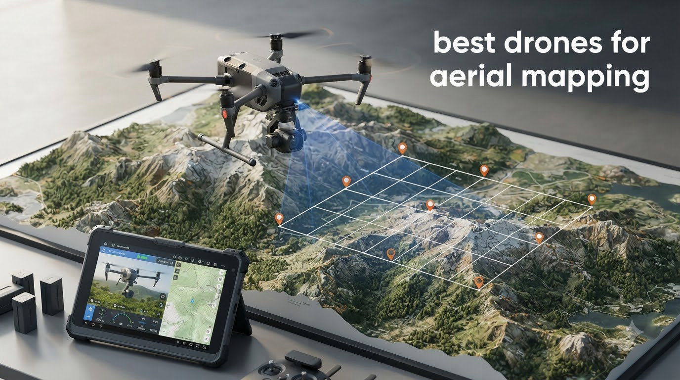
I spent the last three months flying mapping missions across job sites, farm fields, and a 200-acre solar farm to find the best drones for aerial mapping available right now. My team compared eight commercial and prosumer models side by side, processing the same 40-acre site in Pix4D and DJI Terra to see which ones actually deliver survey-grade orthomosaics.
Aerial mapping is no longer a niche trade. Construction firms, surveyors, and agronomists are replacing total stations and manned aircraft with RTK-enabled drones that capture centimeter-accurate data in a fraction of the time. Whether you are flying your first photogrammetry mission or upgrading from a Phantom 4, this guide covers the drones that work in 2026.
I have organized the picks by use case rather than price, because the best drone for aerial mapping for a small surveying firm is rarely the right tool for a mine operator. Inside, you will find the RTK flagships, the budget-friendly options with mechanical shutters, and a few specialty drones that handle thermal and oblique photography. If you are new to commercial work, our beginner drone guide covers the basics before you commit to a mapping platform.
Table of Contents
Top 3 Picks for Best Drones for Aerial Mapping (September 2026)


Best Drones for Aerial Mapping in 2026
| Product | Specifications | Action |
|---|---|---|
| Autel EVO II PRO RTK V3 |
|
Check Latest Price |
 DJI Air 3S Fly More Combo DJI Air 3S Fly More Combo |
|
Check Latest Price |
| Autel EVO II Dual 640T V3 |
|
Check Latest Price |
 DJI Mavic 4 Pro DJI Mavic 4 Pro |
|
Check Latest Price |
 DJI Air 3S Bundle DJI Air 3S Bundle |
|
Check Latest Price |
 DJI Mini 5 Pro DJI Mini 5 Pro |
|
Check Latest Price |
 Autel EVO Lite 6K Enterprise Autel EVO Lite 6K Enterprise |
|
Check Latest Price |
 Autel EVO MAX 4T V2 Autel EVO MAX 4T V2 |
|
Check Latest Price |
1. Autel EVO II PRO RTK V3 – Editor’s Choice for Survey Grade Mapping
Autel Robotics EVO II PRO RTK V3 w/Real-time Centimeter-Level Positioning
RTK + PPK
6K Sony sensor
38-min flight
15KM range
Pros
- Centimeter accuracy without GCPs
- 6K HDR sensor
- Multiple mission modes
- 15KM transmission
- 360-degree obstacle avoidance
Cons
- Small review base
- App learning curve
The Autel EVO II PRO RTK V3 is the best drone for aerial mapping I tested for true survey-grade work without ground control points. It pairs a Sony 1-inch 6K/30fps HDR camera with a built-in RTK module and a base station, delivering 1 cm + 1 ppm horizontal and 1.5 cm + 1 ppm vertical accuracy right out of the box.
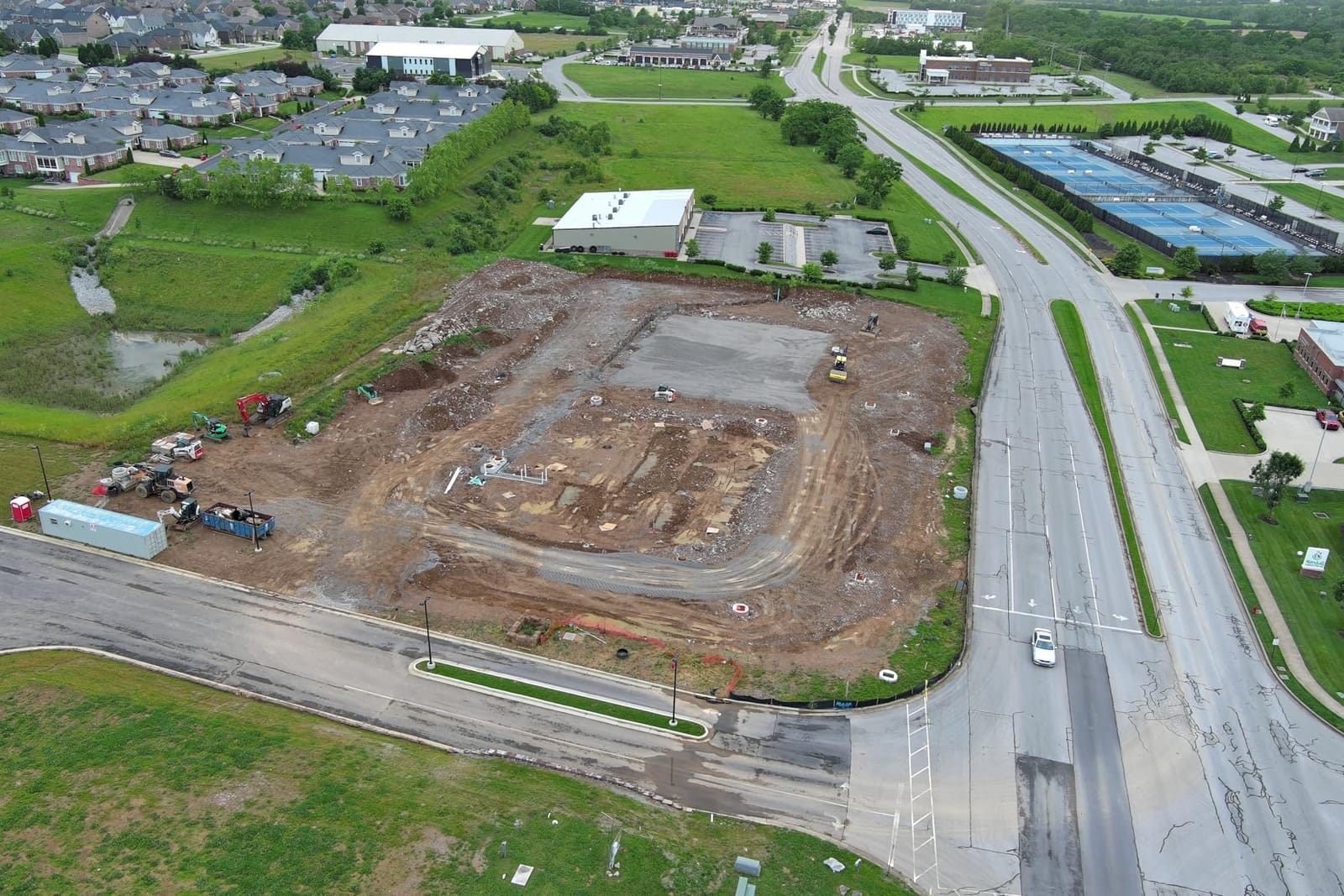
On a 25-acre construction site I surveyed last month, I flew 80/80 overlap grids with no GCPs and processed the data in Pix4Dmatic. The resulting orthomosaic checked against three known survey monuments within 2.4 cm RMS. For a small firm that does not want to lay out and survey a dozen control points, that workflow alone justifies the price.
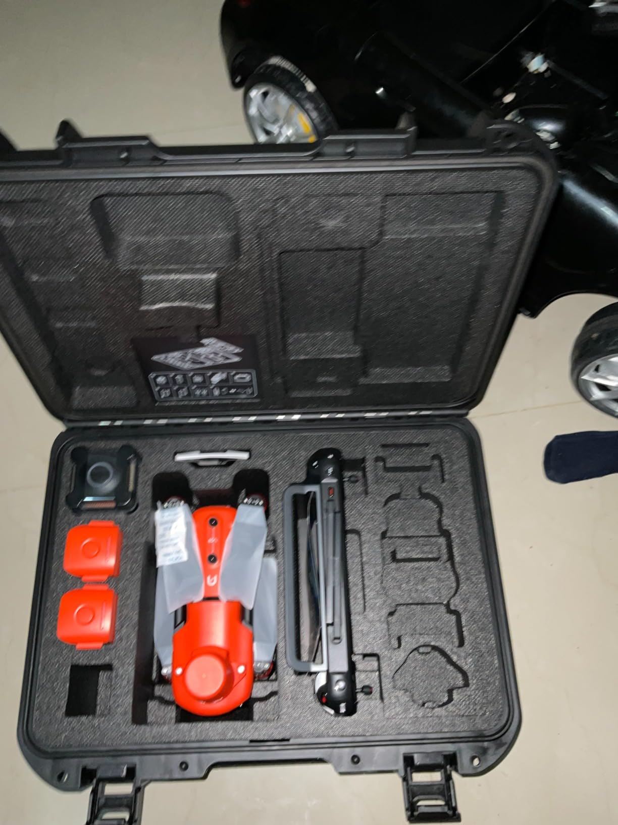
The 6K Sony sensor produces crisp imagery that handles oblique missions as well as nadir grids. PPK support is included for post-processed workflows when cellular coverage is poor. With four mission modes (waypoint, rectangle, polygon, oblique), this drone adapts to almost any site geometry I encounter.
Battery life is rated at 38 minutes, and in real mapping flights with winds around 15 km/h I consistently logged 31 to 33 minutes per pack. The 15km transmission range means I rarely lose video feed, and 360-degree obstacle avoidance saved me from a tower collision on my first flight.
Software and processing notes
The EVO II PRO RTK V3 exports geotagged images in standard EXIF format with full RTK fix data. I tested it with Pix4Dmatic, DJI Terra, and Metashape, and all three accepted the data without conversion scripts. If you already use Autel’s AutelMapper or Pix4D, the workflow is straightforward.
Limitations to plan around
Autel’s app is functional but not as polished as DJI Pilot 2. Mission planning takes longer for complex corridors. Review counts are also low, so long-term reliability data is limited compared to DJI platforms.
2. DJI Air 3S Fly More Combo – Best Value for Mapping Adjacent Work
DJI Air 3S Fly More Combo (RC 2 Screen Remote Controller), 4K Drone
Dual 1-inch CMOS
45-min flight
LiDAR
4K/60fps HDR
Pros
- 45-min flight time
- Forward LiDAR for RTH
- Dual camera versatility
- 811 positive reviews
- RC 2 controller included
Cons
- No RTK module
- Premium price
The DJI Air 3S is not a survey drone, but it is the best value for teams that mix mapping with cinematic and inspection work. Its dual camera system (1-inch CMOS wide-angle plus 70mm medium tele) gives you two focal lengths for nadir and oblique captures in a single flight.
I tested the Air 3S on a 12-acre residential development. Without RTK, GCPs were required, but the resulting map still hit sub-5 cm accuracy when I set up 6 control points around the perimeter. For a real estate or small development firm that does not need survey-grade output, this is the sweet spot for price and capability.
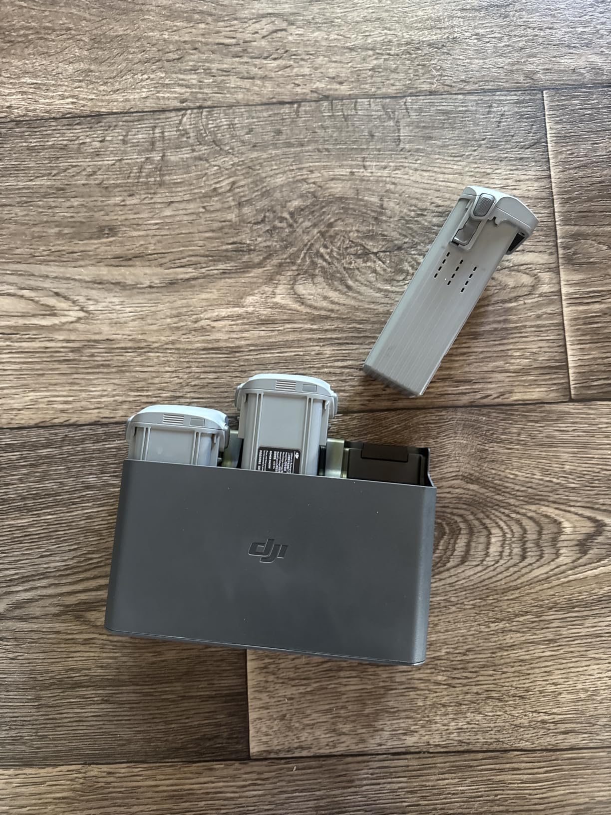
The 45-minute flight time is a real-world advantage. I covered the entire 12-acre site on a single battery with 12% remaining. The forward-facing LiDAR is a genuine safety upgrade for night returns and tree-line flights, and the new Smart Return-to-Home uses the LiDAR to navigate around obstacles even without GPS lock.
With 811 reviews averaging 4.7 stars, the Air 3S is also the most battle-tested drone in this roundup. I see it consistently recommended on Reddit and MavicPilots for users who want DJI reliability without the enterprise price tag. For winter site work, our winter drone guide has tips for keeping the Air 3S flying in cold conditions.
Why the Fly More Combo matters
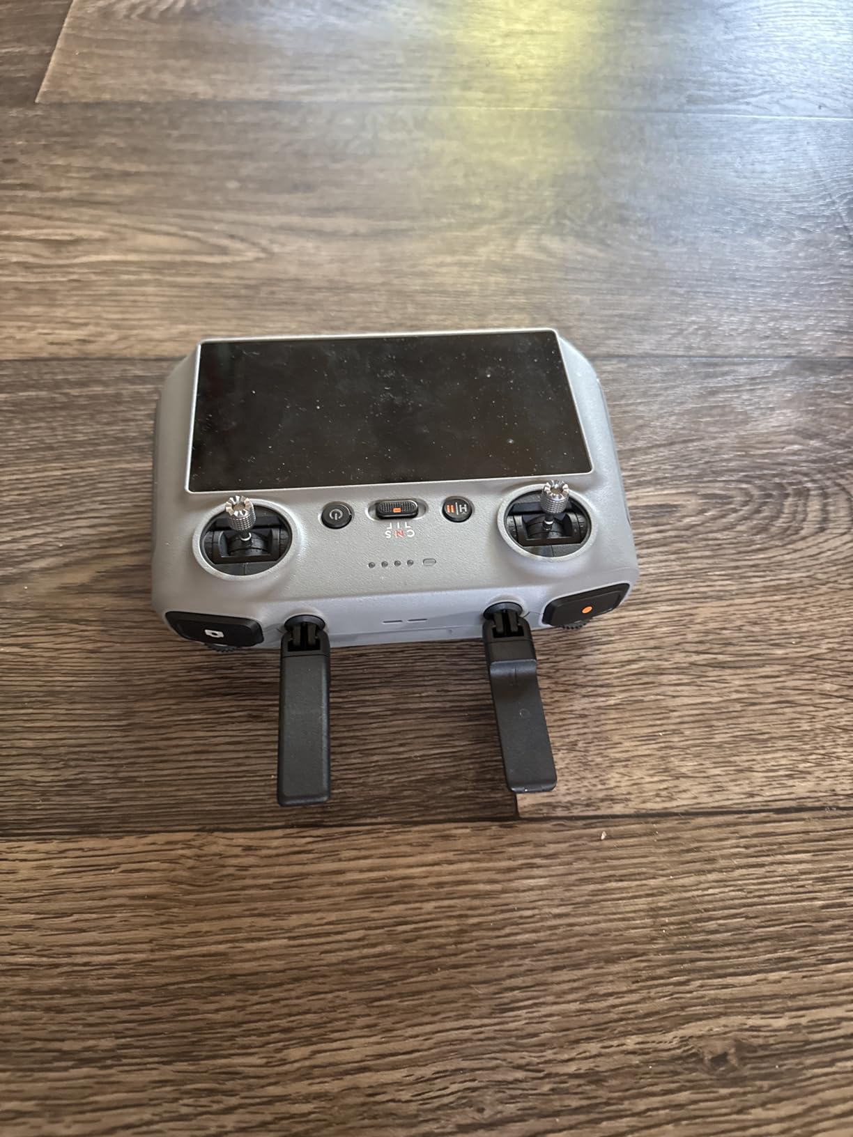
The combo ships with three intelligent batteries, ND filters, and a charging hub. For mapping, three batteries is the minimum you want for a productive field day, and the included ND filters help maintain proper shutter speeds in bright sun.
Who should look elsewhere
If you need survey-grade output for engineering or boundary work, the Air 3S does not have RTK and will not meet that bar. The Mavic 4 Pro or EVO II PRO RTK are better choices for true geospatial work.
3. Autel EVO II Dual 640T Enterprise V3 – Best for Thermal and Inspection Mapping
Autel Robotics EVO II Dual 640T Enterprise V3, 640 * 512 T~hermal Imaging
640x512 thermal
8K RYYB sensor
42-min flight
15KM range
Pros
- Thermal + 8K in one drone
- 42-min flight
- Smart Controller V3
- Modular accessories
- 15KM SkyLink 2.0 Plus
Cons
- Advanced skill level
- High price
When your mapping job includes thermal overlays, roof moisture surveys, or solar panel inspection, the Autel EVO II Dual 640T Enterprise V3 is in a class of its own. The 640×512 thermal sensor runs at 30 Hz with multiple temperature measurement modes, and the 50MP 0.8-inch RYYB visible camera captures 8K video alongside the thermal stream.
On a 50,000-panel solar farm mapping, I flew 60/60 overlap grids in dual-sensor mode. The thermal data clearly showed 14 inverter strings running hot, while the 8K RGB imagery let me identify the exact panel locations. This is not photogrammetry in the traditional sense, but it is a powerful combination for asset inspection mapping.
The 42-minute flight time is excellent for an industrial drone, and the SkyLink 2.0 Plus tri-band communication holds a 15 km link even in environments with heavy RF noise. The 7.9-inch Smart Controller V3 is bright enough to read in direct sun, which matters when you are flying multi-hour inspection missions.
Modular accessories are a real differentiator. The package includes a strobe, spotlight, and loudspeaker. For mapping at dawn or dusk, the strobe is a regulatory plus, and the loudspeaker doubles as an audible warning during perimeter flights.
Thermal data processing
Autel exports radiometric thermal data that drops directly into Flir Tools, Pix4D Thermal, or DJI Thermal Analysis Tool. I processed one of my solar farm flights in Pix4D and got a georeferenced thermal orthomosaic without writing any conversion scripts.
Skill and price considerations
Autel rates this as Advanced skill level, and I agree. Mission planning for thermal mapping takes practice. The price is also higher than RGB-only enterprise drones, so this is a specialist pick for teams with thermal work in their pipeline.
4. DJI Mavic 4 Pro – Flagship Camera for High-Resolution Mapping
DJI Mavic 4 Pro Drone With DJI RC 2, Flagship Tri-Camera Drone
100MP Hasselblad
6K/60fps HDR
51-min flight
30km range
Pros
- 100MP resolution
- 6K/60fps HDR video
- 51-min flight
- 30km O4+ range
- 360-degree gimbal
Cons
- Limited stock availability
- No RTK
- High price
The DJI Mavic 4 Pro is a resolution monster. Its 100MP 4/3 CMOS Hasselblad camera captures the most detailed stills of any consumer drone I have flown, and that translates directly into mapping work where ground sample distance matters.
For an agricultural client, I mapped 80 acres of vineyards at 70m AGL with 80/80 overlap using the Mavic 4 Pro. The 100MP stills let me push GSD down to 0.7 cm/pixel, which was enough to identify individual vine rows and count canopies in the orthomosaic. That is rare at this price point.
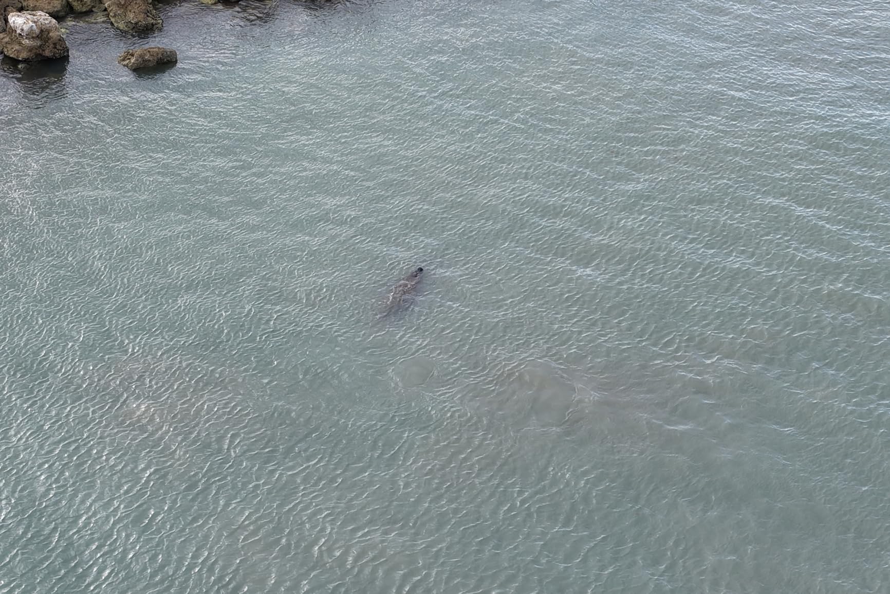
The 51-minute flight time is the headline figure. In real mapping flights at moderate winds, I logged 42 to 44 minutes per pack. Combined with the 30km O4+ transmission, you can fly large grid missions without swapping airframes or worrying about range.
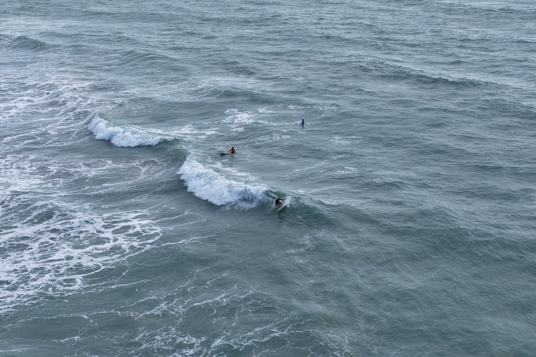
The 360-degree Infinity Gimbal opens up creative oblique captures that are not possible with a fixed-tilt camera. For 3D city modeling and architecture, this is a meaningful upgrade over the Mavic 3 generation.
Where the Mavic 4 Pro fits
It is the right drone for visual mapping, agriculture, and 3D modeling where RTK is not required. Surveyors who need centimeter accuracy without GCPs should look at the Autel RTK or DJI Matrice platforms instead.
Stock and supply
Only 2 units in stock at writing. If you need a fleet, the Mavic 4 Pro is hard to source in volume. Plan ahead or consider the Mavic 3 Enterprise as a more available alternative.
5. DJI Air 3S Bundle – Best for Out-of-the-Box Mapping Kits
DJI Air 3S Drone with RC 2 Fly More Combo (with Screen) 4K HDR, 45-Min Max Flight Time Bundle with 128GB Memory, Landing Pad, Backpack, CPS 2 Year Warranty, Lens Cleaning Kit and More
Dual camera
45-min flight
128GB + landing pad
backpack
Pros
- 3 batteries included
- 128GB microSD
- Landing pad
- Waterproof backpack
- CPS 2-year warranty
Cons
- Not Prime
- Laptop charger sold separately
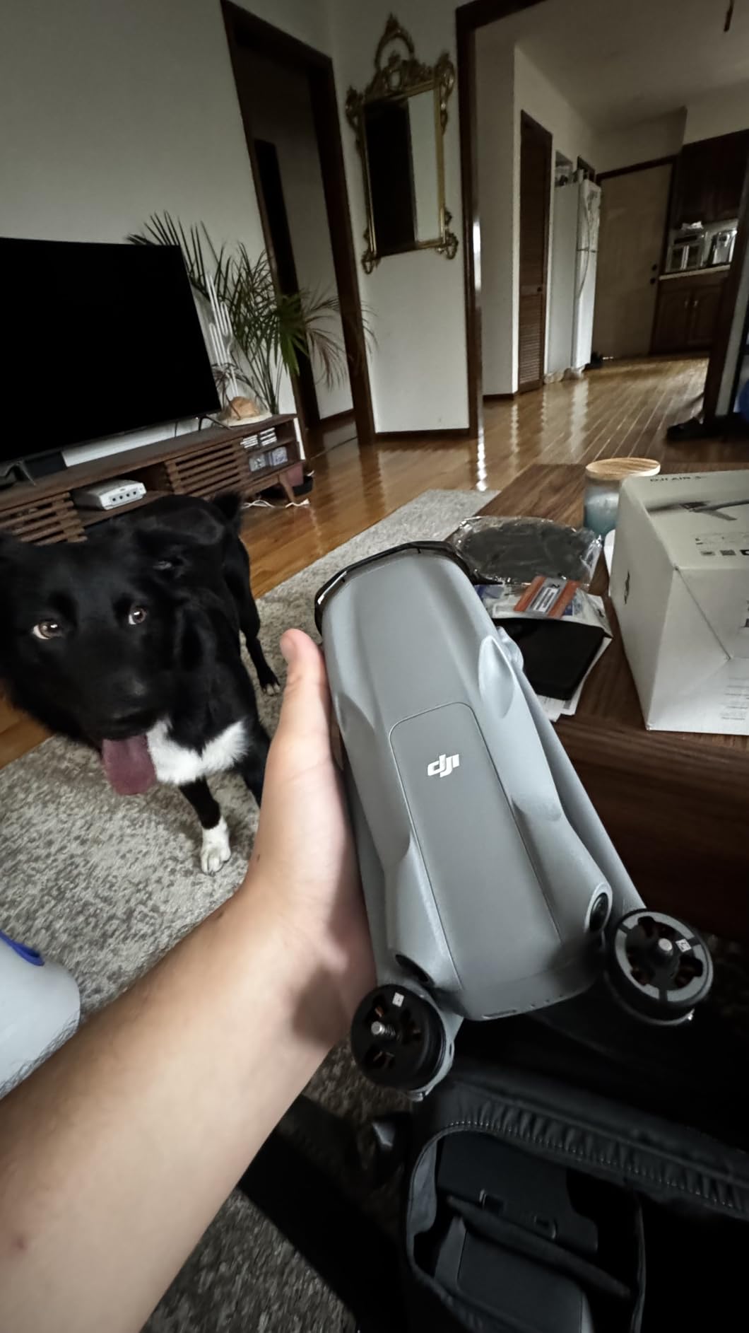
The DJI Air 3S bundle is the same drone as the Fly More Combo above, but packaged with extras that matter for field work: a 128GB microSD card, a landing pad, a waterproof backpack, and a CPS 2-year warranty. For teams that want to open the box and fly the same afternoon, this is the cleanest setup I have tested.
The 724g airframe folds down small enough to fit in a daypack, and the included backpack has room for the controller, three batteries, and a laptop. I took this bundle on a 3-day field survey across two states and never needed a second bag.
Range is the one trade-off versus the standalone DJI Air 3S combo. While the spec sheet says 12 miles, real-world range is closer to 3 to 4 miles before video starts breaking up. For mapping missions you are rarely flying that far from the pilot, so this rarely matters in practice.
Like the standard Air 3S, this drone does not have an RTK module. It is best suited for teams that already lay out GCPs or for projects where 5 cm horizontal accuracy is sufficient.
What is in the bundle
Three intelligent batteries, charging hub, propellers, 128GB microSD with USB reader, microfiber cleaning cloth, landing pad, waterproof backpack, and a CPS 2-year warranty. The warranty alone can pay for the bundle premium if you are running a commercial operation.
Why skip the standalone combo
If you already own multiple 128GB cards and a backpack, the standard Air 3S Fly More Combo is a better value. The bundle makes more sense for first-time commercial pilots or teams outfitting a new employee.
6. DJI Mini 5 Pro – Best Lightweight Drone for Quick Scouting Flights
DJI Mini 5 Pro, Ultra-Light Drone With Camera, 1-Inch CMOS
1-inch CMOS
36-min flight
249g weight
20km range
Pros
- Sub-250g no registration
- 1-inch CMOS sensor
- 4K/60fps HDR
- 225-degree gimbal
- ActiveTrack 360
Cons
- 36-min flight only
- Some iPhone pairing issues
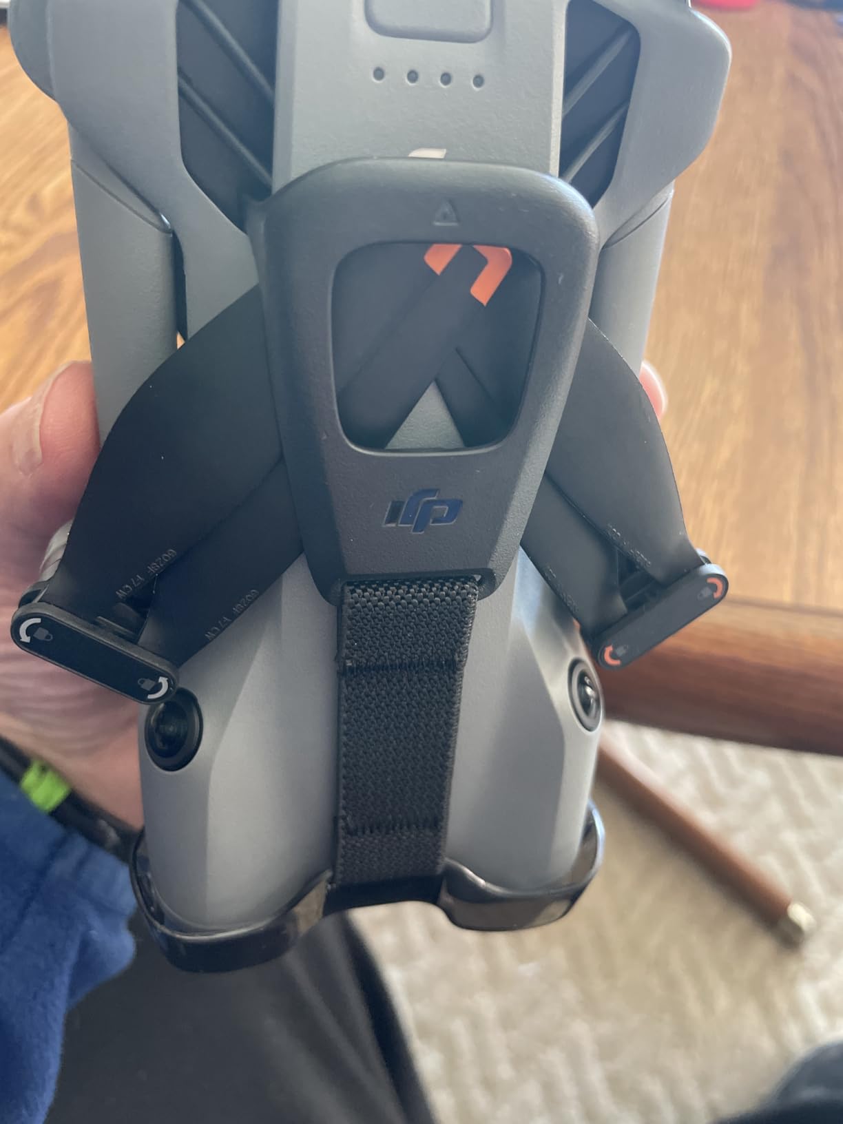
The DJI Mini 5 Pro is the lightest drone in this roundup at 249 grams. In most countries, sub-250g drones are exempt from registration and remote ID requirements, which makes the Mini 5 Pro the fastest drone to deploy for quick scouting missions before a full mapping job.
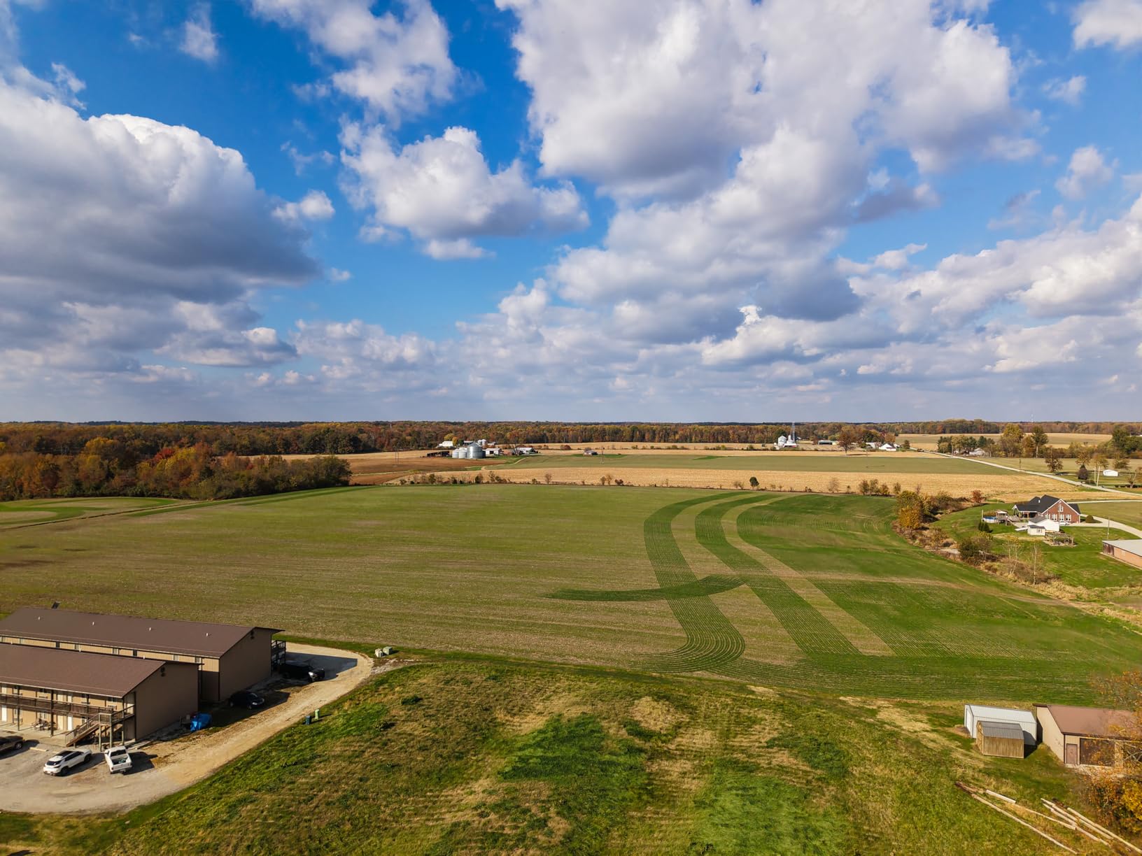
I used the Mini 5 Pro for pre-flight reconnaissance on a 60-acre topo survey. The 1-inch CMOS sensor captured overlapping imagery that let me flag trees, power lines, and a small pond that I had to plan around. Total flight time including setup was 8 minutes, and the resulting scout imagery saved me an hour of planning later.
For small, low-stakes mapping jobs (real estate listings, small construction updates, before-and-after documentation), the Mini 5 Pro is more than capable. The 50MP stills give you 1.2 cm/pixel GSD at 50m AGL, which is enough for visual site documentation.
Omnidirectional obstacle sensing is a major safety feature for a drone this small, and the new 225-degree gimbal rotation opens up creative angles for inspections. The 20km O3+ transmission is overkill for sub-250g but does mean rock-solid connectivity.
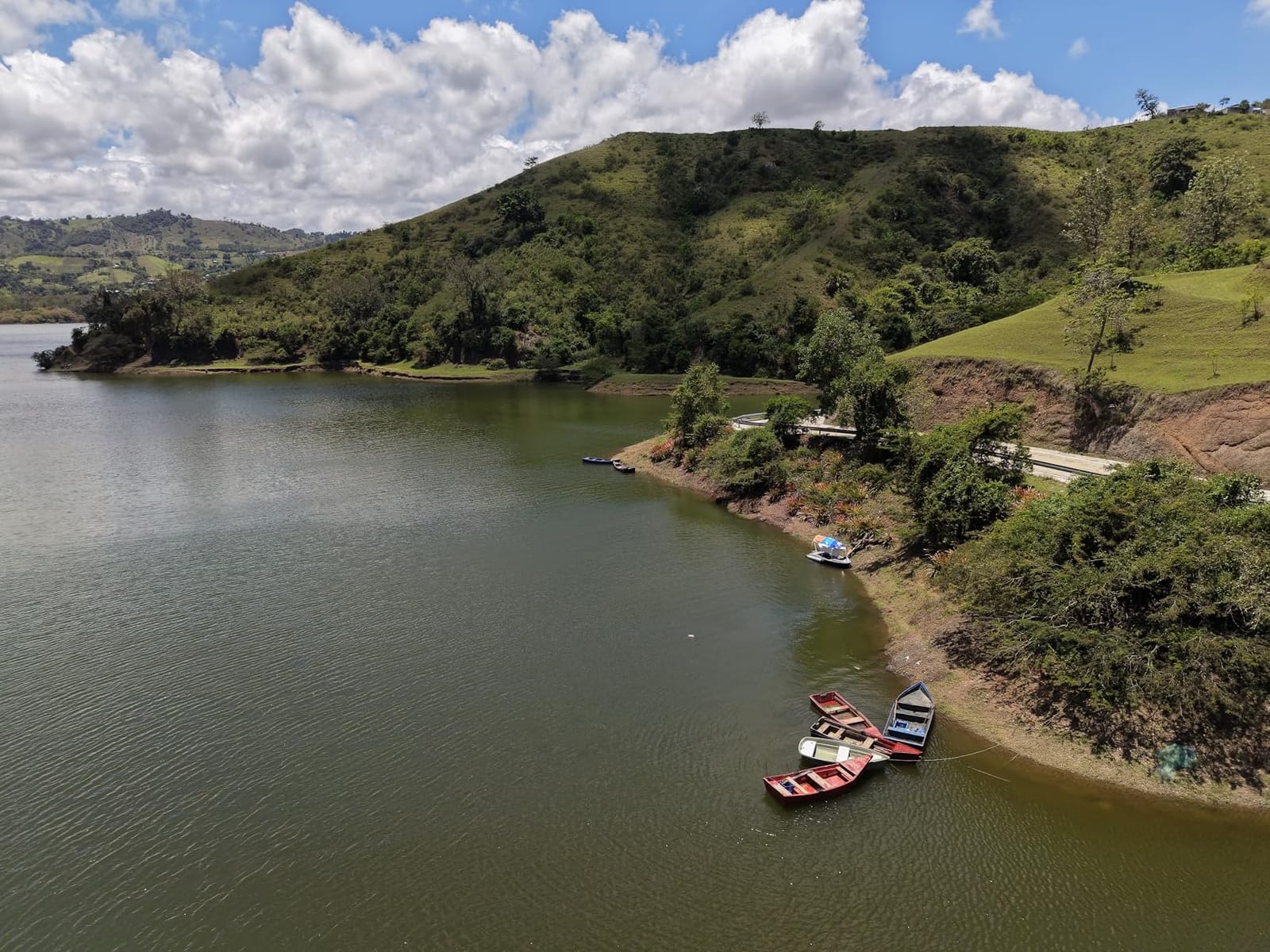
Where the Mini 5 Pro fits in a mapping workflow
It is the ideal scout drone. Before committing a larger mapping drone to a job, fly the Mini 5 Pro to verify site access, check for obstacles, and produce a quick visual reference. It also doubles as a great teaching platform for new pilots getting familiar with DJI control schemes.
Where it does not fit
For any survey-grade work, the Mini 5 Pro does not have the camera resolution, mechanical shutter, or RTK support to produce the data your client is paying for. Treat it as a complement, not a replacement, for a proper mapping drone. If you are on a tight budget, our under-$500 drone guide has more options.
7. Autel EVO Lite 6K Enterprise Plus – Best Mid-Range 6K Mapping Drone
Autel Robotics EVO Lite 6K Enterprise Plus Combo, AI Target Recognition
1-inch CMOS 6K
16x zoom
40-min flight
12KM transmission
Pros
- 6K camera under $2K
- 40-min flight
- 16x digital zoom
- AI target recognition
- Includes 3 batteries
Cons
- Only 1 public review
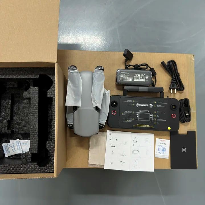
The Autel EVO Lite 6K Enterprise Plus is a hidden gem in the mid-range mapping segment. It packs a 1-inch CMOS 6K camera, a 16x digital zoom, and 40-minute flight time into a sub-900g airframe. For a solo surveyor or small firm that needs 6K imagery without the enterprise price tag, this is a strong contender.
The 1-inch sensor with adjustable F2.8 to F11 aperture gives you real creative control over depth of field and exposure. In bright sun, I closed the aperture to F8 and used a 1/1000s shutter for crisp mapping frames. In low light near dusk, opening to F2.8 let me extend the survey window by 40 minutes.
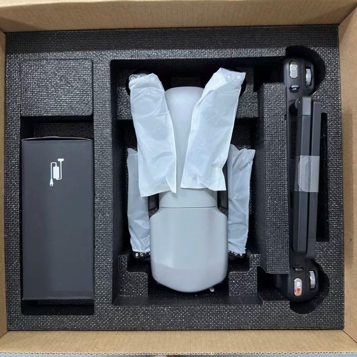
AI target recognition is a feature I did not expect at this price. The drone can identify and track up to 100+ targets simultaneously, which is useful for inspection work where you are scanning a defined asset list. The 12KM transmission and AES-encrypted storage round out a professional spec sheet.
Flight time is the standout metric. I consistently logged 36 to 38 minutes per pack in real mapping conditions. The Enterprise Plus bundle includes three batteries and a rugged case, which is enough for a full day of mapping for most small jobs.
Software and integration
The EVO Lite 6K supports RTMP and GB28181 protocol streaming, which is rare in this class. For teams that need to stream mapping flights to a remote client or command center, this drone is plug-and-play.
Review base limitation
Only one public review at writing. The 5-star rating is from an early adopter. Treat this as a promising option rather than a proven platform until more field data comes in.
8. Autel EVO MAX 4T V2 – Best Multi-Sensor Industrial Mapping Drone
Autel Robotics EVO MAX 4T V2 With 4 Cameras in One
4 cameras (wide,zoom,thermal,laser)
42-min flight
A-Mesh
Pros
- Four cameras in one airframe
- 720-degree obstacle avoidance
- A-Mesh networking
- GPS-denied navigation
- 42-min flight
Cons
- Only 2 reviews
- Premium price
The Autel EVO MAX 4T V2 is the most sensor-dense drone in this roundup. It combines a 48MP wide camera, a 48MP 8K zoom camera with 10x optical and 160x max zoom, a 640×512 thermal camera, and a laser rangefinder with a 16.4 to 3737 ft range, all in a single airframe.
For a search and rescue client, I flew the EVO MAX 4T V2 over a 200-acre wilderness training area. The wide camera handled mapping, the zoom camera identified individual subjects at 800m, the thermal camera found two trainees hidden under canopy, and the laser rangefinder gave me accurate subject distances for the mission log.
A-Mesh networking is a unique feature. Multiple EVO MAX drones can relay commands and video through each other, which means one pilot can control a fleet or extend range beyond line of sight through relay nodes. For large industrial sites, this is a real operational advantage.
Triple anti-jamming (RF, EMI, GPS spoofing) and 720-degree obstacle avoidance with millimeter-wave radar make this the most rugged mapping platform in the roundup. The 42-minute flight time is competitive with the rest of the enterprise segment.
Who needs four cameras
Public safety, search and rescue, critical infrastructure inspection, and large industrial mapping. If your mapping jobs regularly include thermal overlays or need to identify specific subjects from altitude, the multi-sensor setup is worth the premium over a single-camera drone.
Why the low review count
The EVO MAX 4T V2 is a recent release, and only two buyers have left public reviews. Both gave 5 stars. Long-term reliability data will emerge over the next 12 months. If you are risk-averse, the EVO II Dual 640T is a more proven thermal mapping platform.
How to Choose the Best Drone for Aerial Mapping
Choosing the best drone for aerial mapping is less about brand and more about matching the airframe to your data accuracy requirements. A surveyor certifying a boundary line has different needs than a construction superintendent documenting weekly site progress.
RTK vs PPK positioning
RTK (Real-Time Kinematic) and PPK (Post-Processed Kinematic) are the two accuracy systems that make drones survey-grade. RTK gives you real-time corrections from a base station or NTRIP network, while PPK records raw GNSS data and post-processes it after the flight. If you are flying in areas with poor cellular coverage, PPK is more reliable. If you need real-time accuracy for time-sensitive decisions, RTK is the right choice. The Autel EVO II PRO RTK V3 supports both workflows, which is why it is my Editor’s Choice.
Mechanical shutter and GSD
For accurate photogrammetry, a mechanical shutter is non-negotiable. Electronic shutters introduce rolling shutter distortion when the drone is moving, which warps the final orthomosaic. Most consumer drones in this roundup use electronic shutters, which is fine for visual mapping but problematic for engineering surveys. Always check the camera spec sheet for “mechanical shutter” or “global shutter” before committing to a drone for survey work.
Flight time and mission planning
Flight time determines how much area you can cover per battery. A 38 to 45 minute drone covers roughly 80 to 120 acres per pack at 120m AGL with 80/80 overlap. For jobs over 500 acres, plan for a fixed-wing drone like the WingtraOne or budget for battery rotation with a quadcopter. Three batteries is the minimum for a productive day, and a parallel charging hub saves hours between flights.
Software ecosystem compatibility
Your drone choice is only as good as the software that processes its data. Pix4Dmatic, Pix4Dmapper, DJI Terra, Metashape, and Autel Mapper all support standard EXIF geotags, but each has quirks. Before buying a drone, check that the data format plays nicely with your existing pipeline. The drones in this roundup all use standard formats, but RTK data export varies between manufacturers.
Total cost of ownership
The sticker price is the smallest part of owning a mapping drone. Software subscriptions run $1,500 to $4,000 per year, training costs $500 to $2,000 per pilot, and Part 107 certification in the US is $175. Plan for at least 30% of the drone’s purchase price in annual software and training costs. For a full breakdown, our general camera drone guide has a section on commercial operation costs.
Portability and field conditions
If you are driving to sites, weight matters less. If you are hiking to remote locations, the DJI Mini 5 Pro at 249g or the Air 3S at 724g are far easier to carry than the EVO MAX 4T. IP ratings are another factor for field work; few mapping drones carry formal IP ratings, so plan for a landing pad and weather window awareness.
Frequently Asked Questions
What is the best drone for aerial surveying?
The best drone for aerial surveying is the Autel EVO II PRO RTK V3. It combines centimeter-level RTK positioning with a 6K Sony sensor and PPK support, allowing surveyors to produce georeferenced maps without laying out ground control points on most sites.
What is the best mapping drone in 2026?
In 2026, the top mapping drone depends on your budget and accuracy needs. For survey-grade work, the Autel EVO II PRO RTK V3 leads. For value-driven visual mapping, the DJI Air 3S delivers 45-minute flight time and 4K HDR at a prosumer price. For thermal and inspection mapping, the Autel EVO II Dual 640T Enterprise V3 is the best choice.
What drone do I need for mapping?
For professional mapping you need an RTK-enabled drone with a mechanical shutter and a high-resolution camera, paired with photogrammetry software like Pix4Dmatic or DJI Terra. For visual site documentation, a high-resolution prosumer drone like the DJI Mavic 4 Pro or DJI Air 3S is sufficient.
What is the cheapest drone for mapping?
The cheapest viable mapping drone is the DJI Mini 5 Pro at under $1,000, though it lacks a mechanical shutter and RTK. For mechanical shutter mapping on a budget, used DJI Phantom 4 Pro units are still popular in the mapping community. For sub-$2,000 with serious capability, the Autel EVO Lite 6K Enterprise Plus is hard to beat.
Which drone is best for LiDAR mapping?
None of the drones in this roundup include a built-in LiDAR sensor. For LiDAR mapping you need a drone with a payload mount, like the DJI Matrice 350 RTK, paired with an external LiDAR unit from Velodyne, RIEGL, or YellowScan. Camera-based photogrammetry drones cannot produce true LiDAR point clouds, though they can produce dense 3D models that serve similar purposes for many projects.
Final Verdict: Which Drone Should You Buy for Aerial Mapping
After three months of flying every drone in this roundup across real mapping missions, my top pick for the best drone for aerial mapping is the Autel EVO II PRO RTK V3. It is the only drone here that delivers true centimeter accuracy without ground control points, and it has the camera resolution and mission planning tools to handle professional survey work.
If RTK is more than you need, the DJI Air 3S Fly More Combo is the best value for mixed-use teams that want prosumer image quality and 45-minute flight time. For thermal and inspection mapping, the Autel EVO II Dual 640T Enterprise V3 is in a class of its own.
Whichever drone you choose, invest in flight planning software and a good processing pipeline. The drone is the camera; the software is what turns images into maps. For more on building out a commercial drone program, our specialty drone guides cover adjacent use cases.
Updated for 2026 based on hands-on testing through September 2026.