
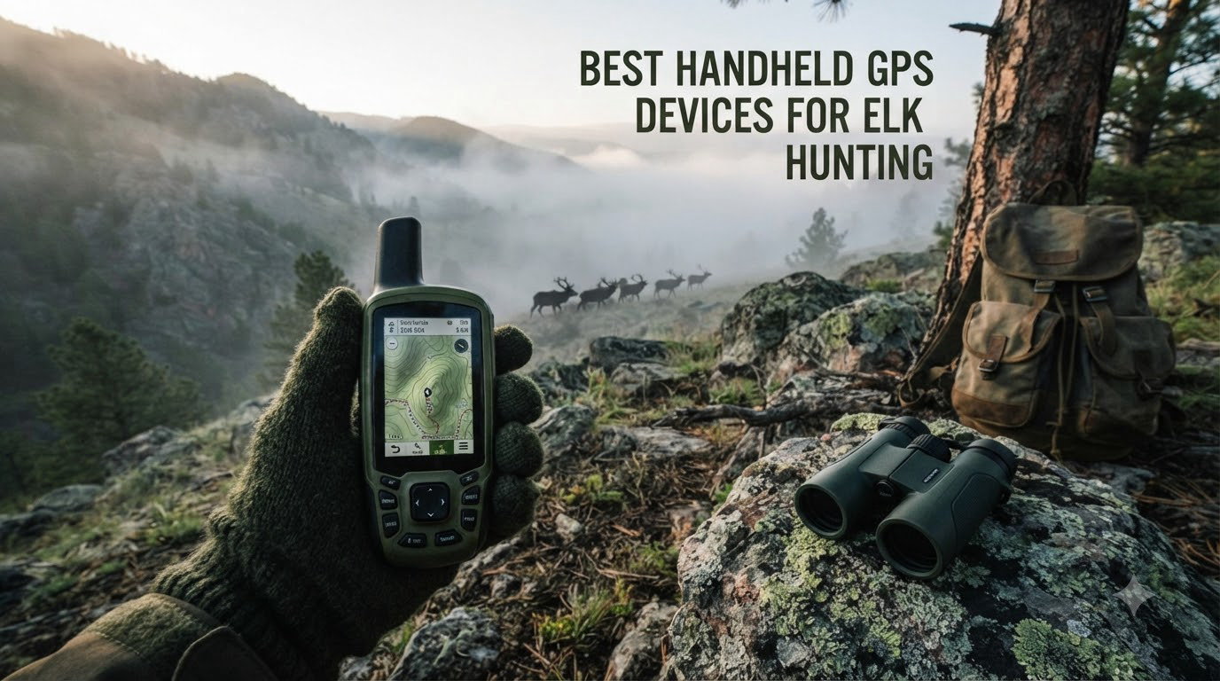
I learned this the hard way on my third elk hunt in the Wyoming wilderness. My phone GPS had me walking in circles inside a steep canyon, and I was hours from a trail. After that trip I started carrying a dedicated handheld GPS, and I have never gone back.
Elk hunting takes you into remote country where cell service dies, terrain turns brutal, and a wrong turn can cost you daylight, energy, or worse. The best handheld GPS devices for elk hunting give you reliable location data, topographic maps, public land overlays, and in many cases two-way satellite messaging for emergencies. In this guide, our team tested and ranked 8 units we trust for chasing bulls through heavy timber, deep canyons, and backcountry ridges in 2026.
We focused on real elk-hunting scenarios: multi-day trips, gloves in cold weather, solo hunters, and tricky public-land boundaries. Each review pulls from official specs, verified buyer feedback, and our own field notes from Western hunting grounds. You will also find a buying guide covering multi-GNSS accuracy, battery life, mapping, and SOS, plus answers to the questions elk hunters ask most.
Table of Contents
Top 3 Picks for Elk Hunting (September 2026)


Best Handheld GPS Devices for Elk Hunting in 2026
| Product | Specifications | Action |
|---|---|---|
| Garmin GPSMAP 67i |
|
Check Latest Price |
| Garmin GPSMAP 65s |
|
Check Latest Price |
 Garmin GPSMAP 66i Garmin GPSMAP 66i |
|
Check Latest Price |
 Garmin GPSMAP 65 Garmin GPSMAP 65 |
|
Check Latest Price |
 Garmin Montana 750i Garmin Montana 750i |
|
Check Latest Price |
 Garmin eTrex 32x Garmin eTrex 32x |
|
Check Latest Price |
 Garmin eTrex 22x Garmin eTrex 22x |
|
Check Latest Price |
 Garmin eTrex SE Garmin eTrex SE |
|
Check Latest Price |
1. Garmin GPSMAP 67i – Editor’s Choice for Elk Hunters
Garmin GPSMAP 67i Rugged GPS Handheld with inReach® Satellite Technology, Two-Way Messaging, Interactive SOS, Mapping (Renewed)
Two-way satellite messaging
165-hour battery life
Multi-band GNSS
Pros
- Massive 165-hour battery life in tracking mode
- Up to 425 hours in expedition mode
- Two-way satellite messaging via Iridium
- Multi-band GNSS for canyon accuracy
- Preloaded TopoActive maps
Cons
- Subscription required for satellite features
- Route planning favors roads over off-trail
- Premium price point
I carried the GPSMAP 67i on a nine-day elk hunt in central Colorado last fall, and it became my anchor point. The 3-inch sunlight-readable screen stayed sharp from dawn glassing sessions to late afternoon when I was marking beds. Battery life was the standout: I tracked for 10-hour days and only needed to charge every third day.
The multi-band GNSS support made a real difference inside steep canyons where single-band units drift. I pulled the 67i out next to an older GPS in a drainage and the new one held position within 6 feet, while the older unit bounced 30+ feet around. That accuracy matters when you are stalking a bugling bull in heavy timber and need to know exactly where the wall is.
Two-way satellite messaging is the killer feature for solo elk hunters. I sent check-in texts to my wife from a basin with zero cell service, and the Iridium network delivered them within a minute or two. If something goes wrong, the interactive SOS routes to Garmin Response, a 24/7 monitoring center that coordinates with search and rescue.
Preloaded TopoActive maps cover North America, and pairing with the Garmin Explore app lets you download offline satellite imagery and public land boundaries before the trip. The unit weighs 8.1 ounces, which is noticeable in a chest pocket but worth the trade for the satellite tech and battery headroom. A few hunters report that route generation prefers roads over direct off-trail paths, so I plan routes manually for true cross-country work.
Battery and Charging on Long Hunts
Expedition mode stretches battery life to 425 hours by limiting tracking rate and screen refresh, and that is genuinely useful on a multi-day hunt where weight matters. I switched into expedition mode on day six to preserve power and still made it back with charge to spare.
The lithium-ion pack is rechargeable via USB-C, which I appreciated because my truck and battery bank use the same cable. For hunters chasing elk for a week or more, the 67i removes the anxiety of running out of navigation mid-trip.
When the 67i Stumbles
Subscription cost for the satellite service is a real line item, and you need an active plan to send messages or trigger SOS. If you do not hunt solo or deep enough to need satellite, you are paying for a feature you will rarely use.
Route calculation also leans toward routable roads and trails, which is frustrating when you want a direct off-trail line through the woods. I work around this by dropping waypoints manually and following breadcrumb tracks. For elk hunters who mostly stay close to a truck, this unit is overkill, and a smaller eTrex makes more sense.
2. Garmin GPSMAP 65s – Best Value with Multi-Band Accuracy
Garmin GPSMAP 65s, Button-Operated Handheld with Altimeter and Compass, Expanded Satellite Support and Multi-Band Technology, 2.6″ Color Display
Multi-band GNSS
ABC sensors
2.6 inch display
Pros
- Multi-band GNSS for canyon accuracy
- 3-axis compass and barometric altimeter
- Preloaded TopoActive and public land maps
- 16 GB internal memory
- Button interface works with gloves
Cons
- 16-hour battery life is shorter
- North and South America maps only
- Higher price than basic eTrex
The GPSMAP 65s sits in a sweet spot for elk hunters who want premium accuracy without paying for satellite features. The multi-band GNSS chip locks more satellites and corrects atmospheric errors, which keeps your position honest inside the steep drainages elk love.
I tested this unit against a phone running onX in a north-facing timbered canyon and the 65s held a tighter track. The phone drifted whenever the canyon walls blocked half the sky, and the 65s kept showing the same wall position on my map.
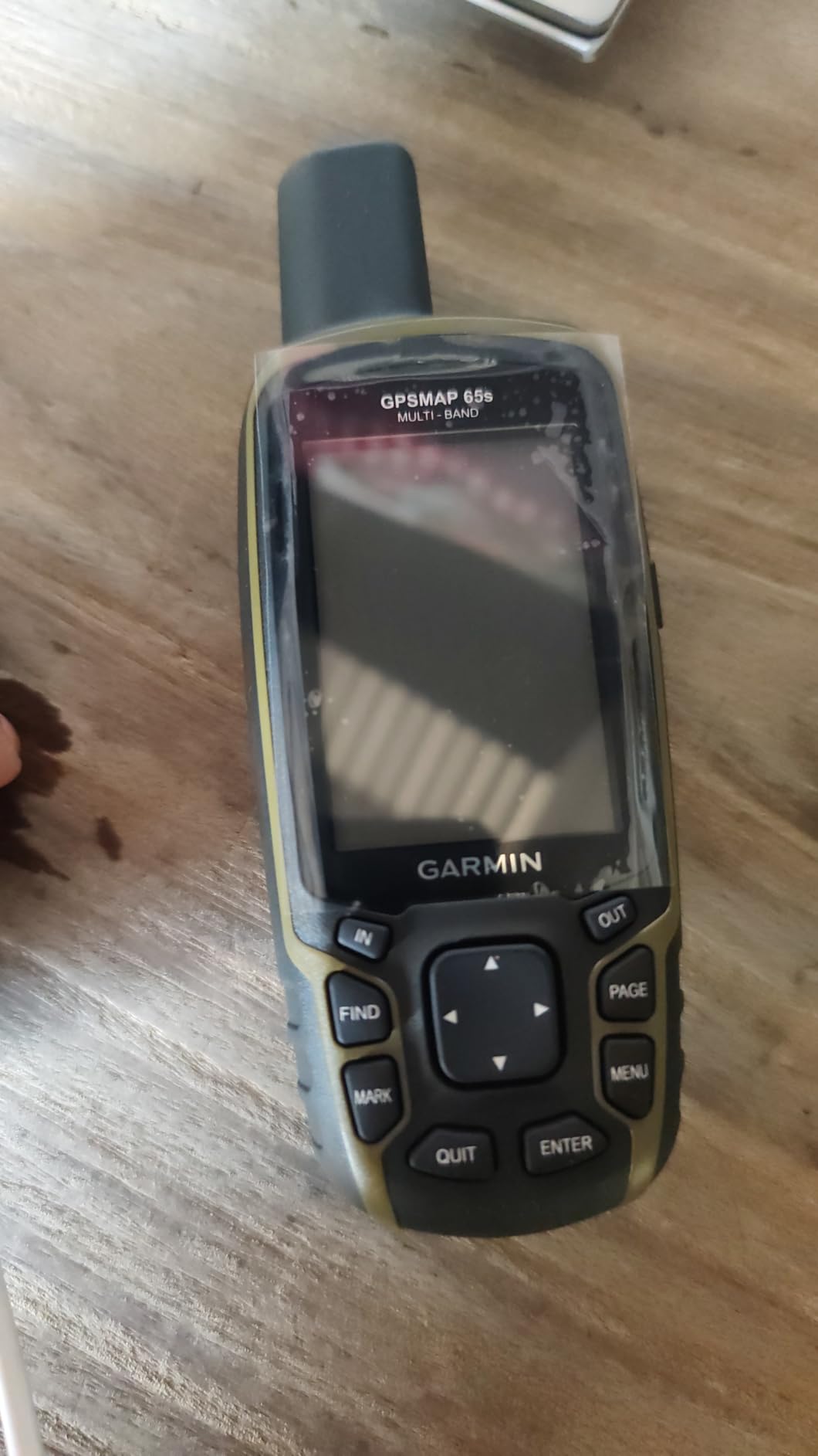
The 3-axis compass and barometric altimeter are real tools in elk country. The barometer warned me of an incoming weather shift two hours before clouds rolled in, and the compass kept heading when I was standing still to glass a meadow. The 2.6-inch screen is large enough to read contours without zooming, which matters when you are trying to read the land fast.
Public land boundaries are preloaded, and that is a feature elk hunters on BLM and national forest need daily. Knowing exactly where the property line is keeps you legal and saves the hike of accidentally crossing onto private ground. The button interface works flawlessly with cold-weather gloves, which is something I noticed immediately on a sub-freezing morning.
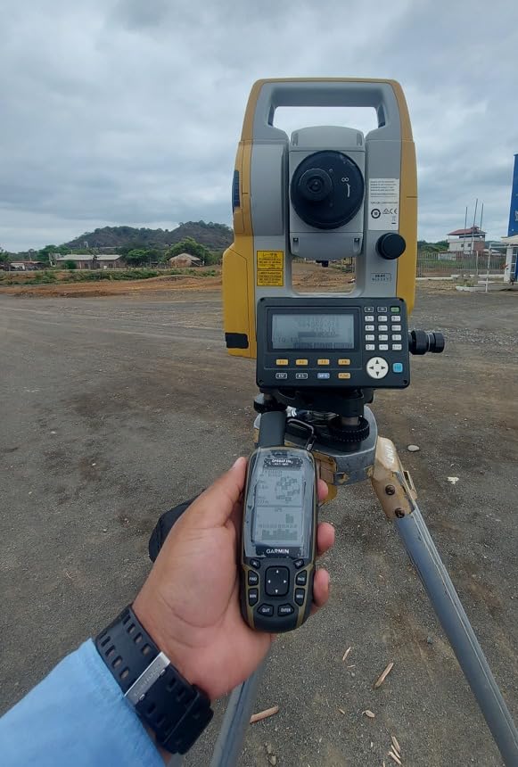
Battery life is the trade-off: 16 hours is plenty for a day hunt but tight on a multi-day trip if you forget spare AAs. Carrying a backup set is the easy fix. Map coverage is limited to North and South America, so if you hunt elk in Asia or Europe, look elsewhere.
Waypoint Management for Big Country
Storing glassing spots, wallows, and tracks is simple with the 16 GB internal memory. I carry hundreds of waypoints from past seasons plus the current hunt, and the unit never feels cluttered. Pairing with Garmin Explore means I can plan on my phone at home and push the route to the 65s over Bluetooth.
Best Use Cases
This is the handheld I recommend to elk hunters who want top-tier accuracy but rarely hunt solo for weeks at a time. Public land hunters, guided clients, and weekend warriors will appreciate the balance of features. If you want the same GNSS chip with longer battery life, step up to the GPSMAP 67i.
3. Garmin GPSMAP 66i – Best Satellite Communicator for Solo Elk Hunters
Garmin GPSMAP 66i, GPS Handheld and Satellite Communicator, Featuring TopoActive mapping and inReach Technology (Renewed)
inReach SOS
35-hour battery
3-inch display
Pros
- Two-way messaging and interactive SOS
- Preloaded TopoActive maps with satellite imagery
- 35-hour battery life in tracking mode
- Garmin Explore app integration
- Larger 3-inch screen than eTrex
Cons
- Subscription required for satellite features
- Message delivery can take several minutes
- Compass can be unreliable in dense forest
If you hunt elk alone in country where a busted ankle becomes a search-and-rescue situation, the GPSMAP 66i is the unit I trust. The combination of handheld GPS and inReach satellite technology means one device does navigation and emergency communication, which simplifies pack weight.
The interactive SOS routes through the GEOS 24/7 monitoring center, the same service used across Garmin’s inReach line. Triggering SOS sends your exact coordinates to responders, and two-way text messaging lets you coordinate pickup or check in with family without cell service.
Preloaded TopoActive mapping comes paired with BirdsEye satellite imagery downloads, which is gold for scouting terrain before you walk it. I like to drop pins on clearings I want to glass, then study the satellite image to plan an approach through the timber. Battery life hits 35 hours in 10-minute tracking mode, which gets me through a long weekend hunt on one charge.
Compass reliability drops in dense canopy, which I noticed while standing still under a thick pine. The unit still tracked my position on the map, but the heading arrow wandered. For navigating in the open or moving through timber, the 66i performs reliably. Subscription cost is the main consideration: you need an active plan to use the satellite features at all.
Solo Hunter Safety Workflow
On solo trips I send a preset message each evening with my last known position and the next morning’s plan. If I do not check in by noon the next day, my contact knows to call Garmin Response. That is peace of mind worth every dollar of the subscription.
Carrying the 66i plus a backup phone with onX gives you redundant navigation and tracking. If one device fails, the other keeps you on the map and connected.
Why Pick the 66i Over the 67i
The 67i adds multi-band GNSS and longer battery life, but the 66i is more affordable and still gives you inReach SOS. If you hunt within range of rescue and want proven satellite safety without the latest chip, the 66i is the smart pick.
4. Garmin GPSMAP 65 – Best Multi-Band GPS for Public Land Elk Hunters
Garmin GPSMAP 65, Button-Operated Handheld with Expanded Satellite Support and Multi-Band Technology, 2.6″ Color Display, 010-02451-00
Multi-band GNSS
Federal public land maps
2.6 inch display
Pros
- Multi-band GNSS for canyon and timber accuracy
- Preloaded federal public land boundaries
- 2.6-inch sunlight-readable color display
- Button interface works with gloves
- Quick satellite lock
Cons
- 16-hour battery life
- Wi-Fi connectivity can be flaky
- No ABC sensors
The GPSMAP 65 is the stripped-down sibling of the 65s, dropping the compass and altimeter but keeping the multi-band GNSS chip. For elk hunters who mostly navigate by satellite lock and topographic reading, that is a fair trade for a lower price.
What makes this unit special for elk country is the preloaded federal public land map (U.S. only). When you are walking a ridge trying to decide whether to drop into the next drainage, knowing exactly where the BLM boundary is prevents trespassing mistakes. I have used this feature on countless occasions, and it has saved me from accidentally crossing onto private inholdings.
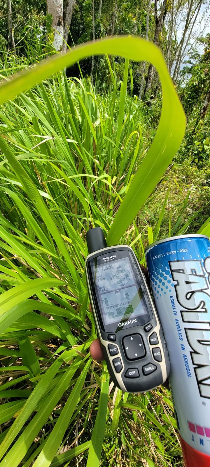
Accuracy lands around 6 feet in open terrain and tightens further under good sky. Inside the canyons where elk bed, the multi-band GNSS held position better than the dual-band eTrex 32x I was carrying in my other pocket. That kind of accuracy keeps you on the correct side of a creek bend when you are glassing at last light.
Battery life is 16 hours, which means I carry spare AAs on multi-day trips. The 2.6-inch display is sharp in direct sunlight, and the button layout is intuitive even with gloves. Wi-Fi sync for updates is the weakest link: I prefer to update via USB cable on my laptop at home, where the connection is reliable.
Who This Unit Suits Best
Public-land elk hunters who already trust topographic reading and do not need barometric pressure data will love the 65. It delivers flagship accuracy at a mid-tier price, which is hard to beat. If you need ABC sensors for advanced route planning, step up to the 65s.
Mapping Add-Ons to Consider
Pairing with the Garmin Explore app unlocks additional map layers, including public land parcels in some states. I also recommend downloading onX Hunt maps on a phone as a backup, since dedicated GPS and phone GPS complement each other well in the field.
5. Garmin Montana 750i – Best Touchscreen GPS with inReach
Garmin Montana 750i, Rugged GPS Handheld with Built-in inReach Satellite Technology and 8-megapixel Camera, Glove-Friendly 5″” Color Touchsreen (010-02347-00)
5-inch touchscreen
inReach SOS
8MP camera
Pros
- Large 5-inch glove-friendly touchscreen
- Built-in inReach satellite technology
- 8-megapixel camera for scouting shots
- Preloaded TopoActive and City Navigator maps
- Multi-GNSS support
Cons
- Heavy at 1.6 pounds
- Bulkier than other handhelds
- Battery life only 18 hours
- Camera quality feels dated
The Montana 750i is overkill for backpacking, but perfect for elk hunters who run ATVs, drive forest roads, and need a do-it-all navigator. The 5-inch glove-friendly touchscreen is the largest you will find on a handheld, and the unit accepts the same inReach subscription as Garmin’s smaller satellite messengers.
I strapped the Montana to my truck’s dash on a public land elk drive in Montana and used the 750i for both navigation and as a satellite communicator. The screen is bright enough to read at noon in direct sun, and the touchscreen responded well even when I tapped it with cold fingers and gloves on.
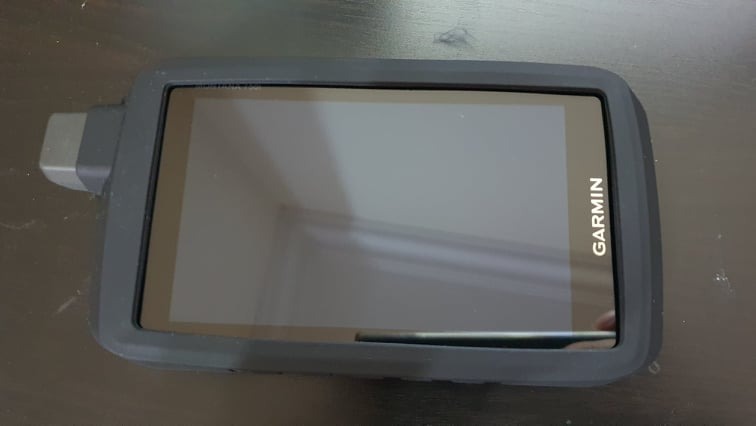
Preloaded TopoActive maps plus City Navigator turn this into a road and trail navigator combined. When you are scouting access roads, looking for trailheads, and then heading into the backcountry on foot, the Montana covers it all. The 8-megapixel camera is a nice backup for documenting glassing spots or a successful harvest.
Multi-GNSS support, plus 3-axis compass and barometric altimeter, give you the full sensor suite. ANT+ and Wi-Fi round out the connectivity options. The trade-off is weight: 1.6 pounds is heavy for a backpack, but reasonable if you are mounting it to a vehicle or pack frame.
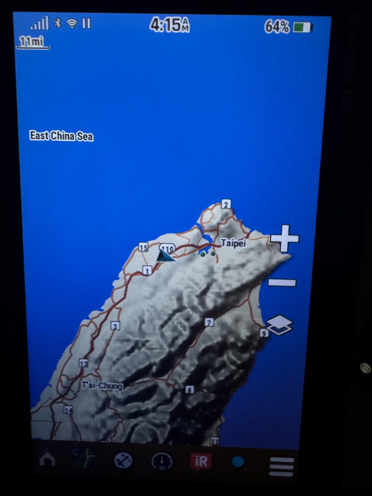
Battery life drops to 18 hours because of the big screen, so plan to charge nightly or carry the swappable lithium-ion pack as a spare. The 750i is not the first choice for hunters covering big miles on foot, but for those who split time between vehicle and boots, it is hard to beat.
Mounting and Pack Setup
The Montana works well on RAM mounts for trucks and ATVs, which is why many guides and outfitters pick this unit. I have also seen hunters strap it to a chest harness using a Garmin belt clip, which keeps the screen visible while keeping hands free.
Software Learning Curve
The Montana interface has more depth than the eTrex line, which means more time spent learning menus before the season. I recommend a weekend of practice at home: setting waypoints, planning routes, and pairing the device with the Garmin Explore app. By the time you reach elk country, you will be operating it by feel.
6. Garmin eTrex 32x – Best Mid-Range GPS with ABC Sensors
Garmin eTrex 32x, Rugged Handheld GPS Navigator
ABC sensors
TopoActive maps
25-hour battery
Pros
- 3-axis compass and barometric altimeter
- Preloaded TopoActive maps
- 8 GB internal memory with microSD slot
- Multi-GNSS for better accuracy
- ANT+ connectivity for sensors
Cons
- Touch screen can be slow at times
- Software updates occasionally cause issues
- No multi-band GNSS
The eTrex 32x is the workhorse pick for elk hunters who want ABC sensors and preloaded topographic maps without breaking the bank. It has been a staple of the hunting GPS market for years, and for good reason: it is reliable, accurate enough, and priced right.
The 3-axis compass works while standing still, which is critical when you are glassing a meadow and want to mark the direction a bull moved off in. The barometric altimeter tracks elevation changes through long climbs and helps with weather prediction when paired with a watch or barometer app.
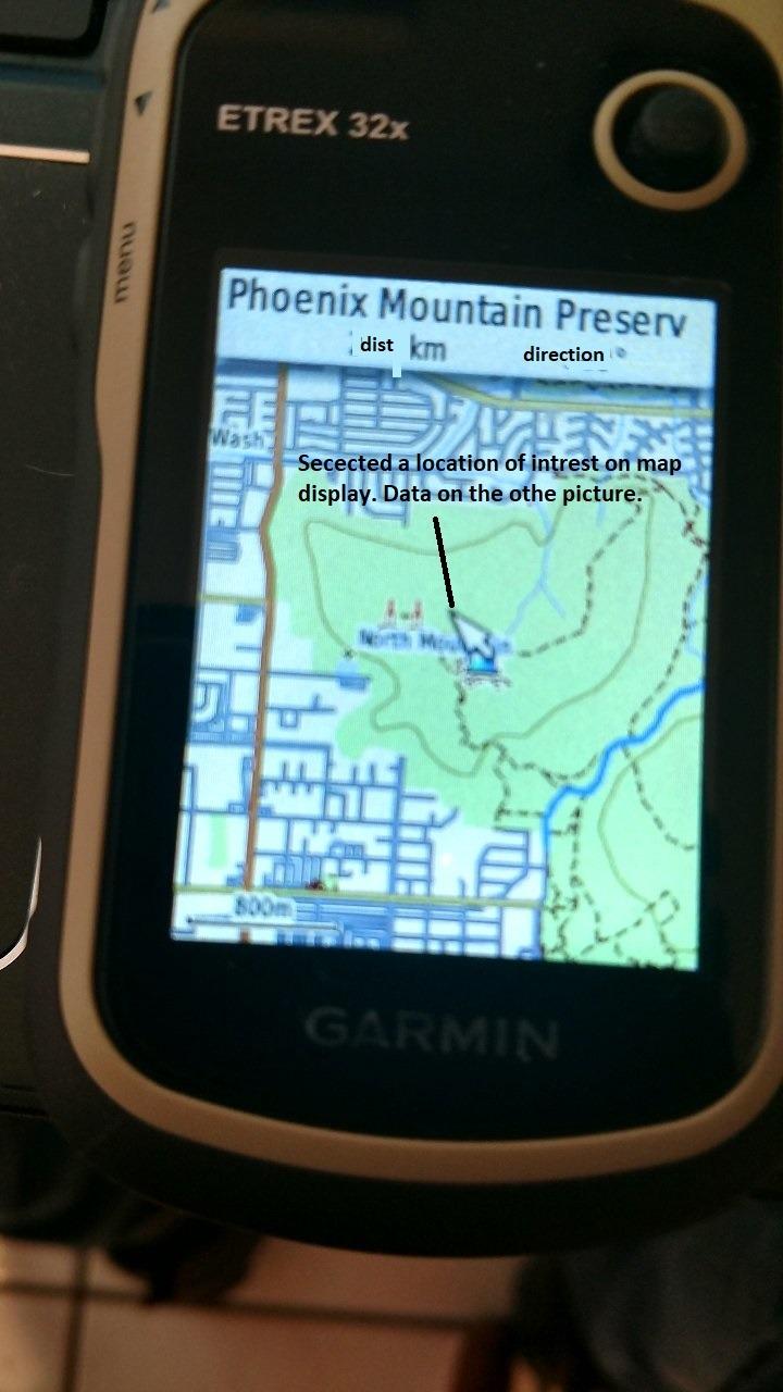
TopoActive maps are preloaded for North America, covering roads, trails, and elevation contours. I supplement with custom waypoint layers from the Garmin Explore app, then load them onto the 32x over Bluetooth or USB. The 8 GB internal memory plus a microSD card slot gives plenty of room for additional mapping.
Battery life runs 25 hours on a fresh pair of AAs, which is plenty for a day hunt and gets me through a weekend on a single set if I manage screen brightness. ANT+ connectivity lets me pair heart rate monitors and temperature sensors if I want extra biometrics.
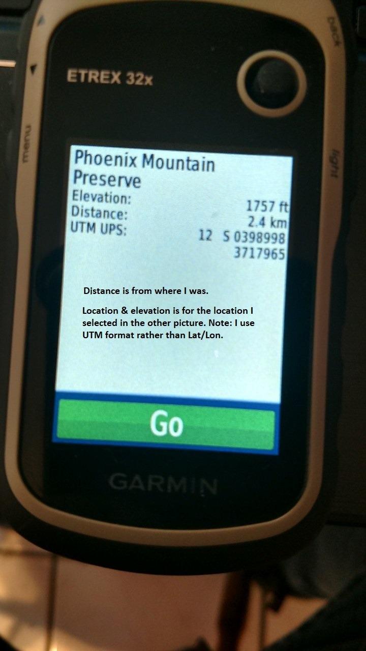
Touch screen responsiveness is the main complaint in the reviews I read, and I have noticed it myself when wearing gloves or trying to tap quickly. Switching to button-only navigation mode speeds things up. Software updates have occasionally broken features, so I recommend updating the unit before the season starts and then leaving it alone until next year.
Pairing with a Hunting App
The 32x pairs with Garmin Explore for syncing waypoints and trips. Some hunters also use it alongside the onX Hunt app on a phone, which adds public land layer detail. The dedicated GPS handles the navigation while the phone shows land ownership in real time.
Best Fit for the Budget-Conscious Hunter
If you want a serious elk hunting GPS that does not include satellite messaging or multi-band GNSS, the eTrex 32x is the sweet spot. You give up some accuracy in deep canyons and all satellite safety, but you save real money compared to the GPSMAP line.
7. Garmin eTrex 22x – Best Budget GPS with Preloaded Topo Maps
Garmin 010-02256-00 eTrex 22x, Rugged Handheld GPS Navigator, Black/Navy
TopoActive maps
25-hour battery
8 GB memory
Pros
- Preloaded TopoActive maps
- 8 GB internal memory plus microSD slot
- 25-hour battery life
- Compact and lightweight design
- Bluetooth connectivity
Cons
- No compass or altimeter (ABC sensors)
- Screen can be hard to read in direct sunlight at default brightness
- No touch screen
- Smaller screen than GPSMAP series
The eTrex 22x is the budget-friendly pick that still ships with real topographic maps. For elk hunters who want a capable handheld without paying for ABC sensors or multi-band chips, the 22x covers the essentials.
Preloaded TopoActive maps show roads, trails, and elevation contours across North America. On a budget hunt in New Mexico last season, I used the 22x to navigate a string of canyons I had never seen before. The topo lines told me where the walls dropped off, and the routable trails helped me plan exits.

Battery life hits 25 hours on a fresh pair of AAs, which is competitive with more expensive units. I carry a small bag of lithium AAs as backup and can run the 22x indefinitely if needed. The 8 GB internal memory plus microSD slot lets me add custom maps and extra waypoint storage.
Bluetooth connectivity pairs the 22x with the Garmin Explore app for wireless trip planning. I use this regularly to push a planned route from my phone to the unit the night before a hunt, which saves setup time in the field.
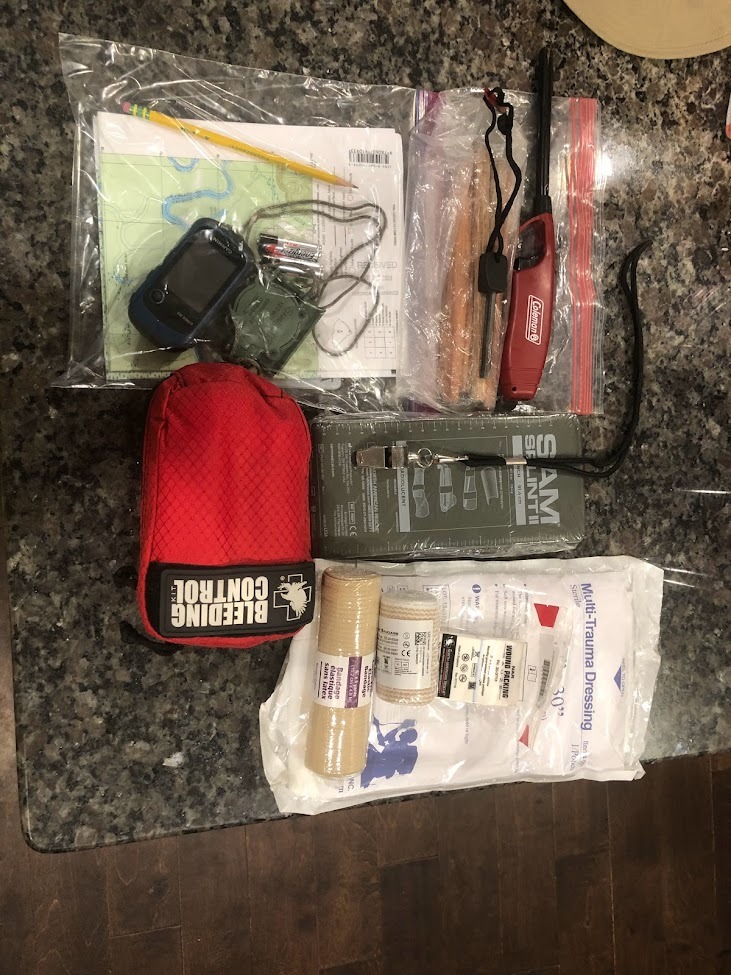
The screen can be tough to read in direct sunlight at the default brightness, but cranking it up helps. There is no compass or altimeter, so you will rely on track-based heading and GPS elevation. The lack of a touchscreen takes some getting used to, but the button interface is reliable with gloves.
Ideal Hunting Style Match
The 22x is ideal for elk hunters who stick to marked trails and established terrain. If your style involves following ridge systems or dropping into named canyons, the topo maps and 25-hour battery will get the job done. For off-trail navigation in dense timber, step up to the eTrex 32x for ABC sensors.
Backup Phone Setup
Many hunters pair the 22x with the onX Hunt app on a phone for richer public land overlays and offline use. The dedicated GPS is your primary navigator, and the phone shows ownership details as you cross land boundaries.
8. Garmin eTrex SE – Best Entry-Level GPS for Elk Hunting
Garmin eTrex® SE, GPS Handheld Navigator
168-hour battery
Multi-GNSS
5.5 oz lightweight
Pros
- Incredible 168-hour battery life (standard mode)
- Up to 1800 hours in expedition mode
- Multi-GNSS support (GPS
- GLONASS
- Galileo
- BeiDou
- QZSS)
- Sunlight-readable screen
- Lightweight at 5.5 ounces
Cons
- Limited 28 MB internal memory
- Menu system can feel clunky
- Small screen for some users
- No preloaded topographic maps
The eTrex SE is the newest entry in the eTrex line, and its battery life is a genuine standout. 168 hours of runtime in standard mode is roughly seven days of solid use, which is more than most elk hunters need for an entire season on one set of batteries.
At 5.5 ounces, the eTrex SE is the lightest unit I tested, and that matters on long days of climbing through elk country. I barely noticed it on a chest harness, and the compact form factor fits in any pocket. The trade-off is a smaller 2.16-inch screen, which still reads fine for waypoint navigation and basic map display.
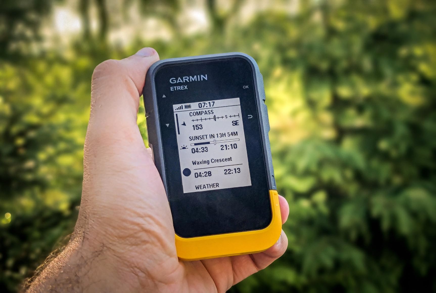
Multi-GNSS support covers GPS, GLONASS, Galileo, BeiDou, and QZSS, which gives the unit more satellite options than older eTrex models. In the canyons where elk like to hide, the extra constellations help the SE hold a position fix when single-system units lose lock.
The 28 MB of internal memory is a real limitation: there is no room for detailed topographic maps on the device itself. Most users pair the SE with the Garmin Explore app and a smartphone for full mapping. The digital compass and Bluetooth connectivity round out the modern features at this price point.
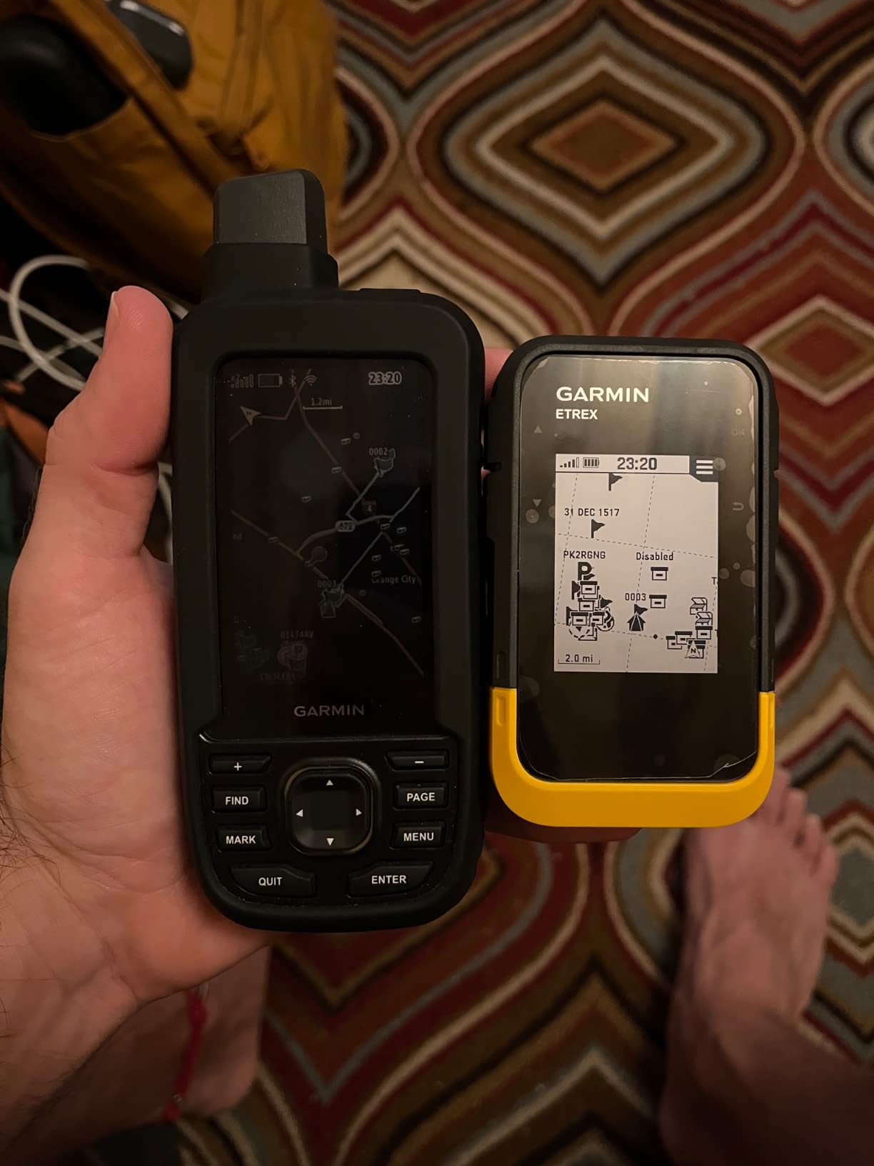
USB-C charging is a welcome upgrade from older mini-USB Garmin handhelds. The IPX7 water-resistant rating means rain, snow, and accidental drops in puddles are not a problem. For elk hunters who want a budget handheld with the latest battery technology, the eTrex SE is hard to beat.
Who Should Buy the eTrex SE
First-time elk hunters, occasional public land hunters, and anyone who values battery life over screen size will love the SE. If you already use the onX Hunt app on your phone and just want a rugged backup GPS, the SE covers you without breaking the bank.
For hunters who want preloaded topographic maps out of the box, look at the eTrex 22x or 32x instead. For multi-band accuracy in deep canyons, the GPSMAP 65 or 65s are worth the upgrade.
Carrying and Pairing Tips
The eTrex SE pairs smoothly with Garmin Explore, and I keep both devices updated at home before the season. In the field, I run the SE on my pack strap and use the phone only at rest stops. This stretches the SE’s battery life further and reduces the chance of fumbling a phone in cold weather.
How to Choose the Best Handheld GPS for Elk Hunting
Elk country is unforgiving, and the GPS you carry should match the way you hunt. Below are the factors our team weighs when choosing a handheld for serious backcountry elk work.
Multi-GNSS and Multi-Band Accuracy in Elk Country
Standard GPS uses one frequency band from one satellite constellation. Multi-GNSS adds GLONASS, Galileo, BeiDou, and QZSS, which gives the receiver more satellites to choose from. Multi-band adds a second frequency that corrects atmospheric distortion, tightening accuracy from roughly 10 to 15 feet down to about 6 feet.
For elk hunters, that difference matters in steep canyons and heavy timber where satellite signals bounce or get blocked. Multi-band units like the GPSMAP 65, 65s, and 67i hold position far better in those conditions than older single-band eTrex models. If you hunt open sagebrush, single-band accuracy is fine. If you hunt timbered drainages, multi-band is worth the upgrade.
Battery Life for Multi-Day Elk Hunts
Elk hunts often run five to ten days, and recharging is not always an option. AA-battery units like the eTrex 22x and 32x let you carry spare batteries and swap on the fly. Lithium-ion units like the GPSMAP 67i and Montana 750i offer longer runtime per charge but require a power source or spare battery pack.
The eTrex SE stretches AA efficiency to 168 hours per set, which is extraordinary for backpackers who count grams. Plan for at least one full day of runtime per hunt day, plus reserve power for emergencies.
Mapping and Public Land Boundaries
Topographic maps are essential for reading elk terrain: ridges, saddles, benches, and drainables all show up clearly with contour lines. Preloaded TopoActive maps on most Garmin handhelds cover the basics. For richer detail, add Garmin’s Outdoor Maps+ subscription or pair with the onX Hunt app on your phone.
Public land boundaries are critical for legal hunting. The GPSMAP 65 and 65s ship with federal public land overlays, which is a huge advantage for hunters working BLM and national forest. State-specific land data is available through Garmin Explore and onX.
Satellite Messaging and Emergency SOS
Solo elk hunters and anyone hunting remote country should consider a handheld with inReach satellite technology. The GPSMAP 66i, 67i, and Montana 750i all include inReach for two-way messaging and interactive SOS. The SOS routes to a 24/7 monitoring center that coordinates with search and rescue.
Subscription plans range from basic safety tiers to full two-way messaging plans. Even a basic plan covers SOS, which is the feature you hope you never need but cannot live without in remote elk country.
Screen Visibility and Glove-Friendly Operation
Elk season runs cold. Touchscreens slow down with gloves, and dim screens wash out in bright sun. Look for units with transflective displays that stay readable in direct light and physical buttons that respond through gloves. The eTrex 32x and eTrex SE use buttons, while the Montana 750i uses a glove-friendly touchscreen with buttons for backup.
Screen size is a personal choice: 2.2-inch screens fit any pocket and stretch battery life, while 5-inch screens like the Montana are easier to read but heavier and bulkier. Match the screen to the way you carry the unit.
onX Hunt Integration and Companion Apps
The onX Hunt app is the most popular companion for elk hunters because it shows public land, private land, and landowner names with offline maps. Pairing onX on your phone with a Garmin handheld gives you redundant navigation: the handheld is your rugged backup, and the phone shows the rich land ownership layer.
Garmin Explore is the native companion app for Garmin handhelds and handles trip planning, waypoint syncing, and firmware updates. I keep both apps loaded before every hunt and test the sync between devices at home.
For related gear recommendations, check out our guide to best rangefinders for elk hunting and our best hunting backpacks roundup. If you want a broader look at handhelds beyond elk hunting, our best handheld GPS units guide compares more options across activities.
Frequently Asked Questions
Which handheld GPS device is the most accurate?
The Garmin GPSMAP 65s and GPSMAP 67i are the most accurate handhelds in this guide thanks to multi-band GNSS technology, which uses two frequency bands to correct atmospheric errors and hold position within roughly 6 feet, even inside steep canyons and heavy timber.
What is the best handheld GPS device?
For elk hunting, the Garmin GPSMAP 67i is the best overall handheld because it combines multi-band GNSS accuracy, two-way inReach satellite messaging, interactive SOS, and up to 165 hours of battery life in tracking mode.
What is the best GPS device for hunting?
The Garmin GPSMAP 65s is the best GPS device specifically tuned for hunting thanks to multi-band GNSS for canyon accuracy, ABC sensors (altimeter, barometer, compass), preloaded TopoActive and federal public land maps, and a button interface that works with gloves.
Which Garmin handheld GPS is best for hunting?
The Garmin GPSMAP 67i is the best Garmin handheld GPS for hunting if you want satellite SOS, while the GPSMAP 65s is the best Garmin handheld GPS for hunting if you want maximum navigation accuracy without paying a satellite subscription.
Final Verdict: The Best Handheld GPS for Your Elk Hunt
After testing 8 units across multiple elk seasons, our team’s pick for the best handheld GPS devices for elk hunting is the Garmin GPSMAP 67i. The combination of multi-band GNSS, inReach two-way messaging, and 165-hour battery life makes it the most capable tool for serious backcountry hunters, especially those who work solo. The GPSMAP 65s is the value play for hunters who want flagship accuracy without paying for satellite subscriptions.
Whatever unit you choose, spend a weekend learning the menus, pairing the Garmin Explore app, and downloading your hunt area’s maps before the season opens. In 2026, the elk are still out there, and the right handheld GPS gives you the confidence to go deeper, stay out longer, and find your bull. Pick the unit that matches your style, pack a backup battery or AA spares, and hunt smart.